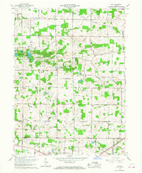
1965 Map of Ege
USGS Topo · Published 1968About this map
Chain O'Lakes State Park dominates the western landscape of this mid-1960s survey, revealing a glaciated terrain defined by a dense concentration of kettle lakes such as Bowen Lake, Sucker Lake, and Long Lake. This area of Noble County is characterized by its complex hydrology, where the Blue River and Willow Creek navigate between low hills and marshy depressions. Small crossroads settlements and agricultural hubs like Ege and Bakertown anchor the rural community, connected by a network of section-line roads and the Pennsylvania railroad line in the southeast near the Eel River. Local history is deeply etched into the land through numerous country churches and cemeteries, including Sugar Grove Ch and Grays Cem, which served the farming families of Green and Swan townships. The map also captures several fine details of the era, such as the specific placement of field and fence lines visible from 1948 aerial photography.
Find a feature on this map
34 named features on this map. Tap any name to fly to it.
Don’t see what you’re looking for? This feature index may not catch every label — zoom into the map to look around manually.
Map Details
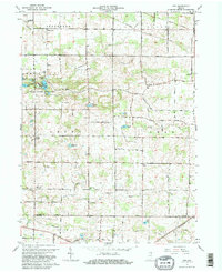
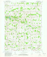
Editions of this 1965 Ege Map
Other maps of this area

1951 · Merriam
USGS Topo · 1:24,000

1953 · Fort Wayne
USGS Topo · 1:250,000

1955 · Corunna
USGS Topo · 1:24,000

1955 · Columbia City
USGS Topo · 1:24,000

1955 · Ege
USGS Topo · 1:24,000

1955 · Kendallville
USGS Topo · 1:24,000

1956 · Fort Wayne
USGS Topo · 1:250,000

1956 · Albion
USGS Topo · 1:24,000

1957 · Huntertown
USGS Topo · 1:24,000

1957 · Garrett
USGS Topo · 1:24,000