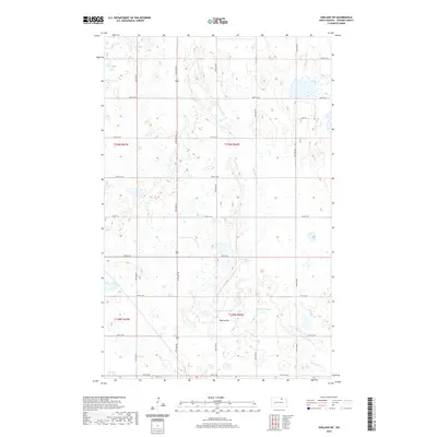
2020 Map of Egeland SW
USGS Topo · Published 2020About this map
Mauvais Coulee and its associated drainage, Big Coulee, define the hydrology of this Towner County landscape, where glacial depressions form numerous wetlands across the prairie. The map captures a strictly organized agricultural grid, with section lines marked by a systematic network of roads including 83rd St NE at the northern boundary and 67th Ave NE bisecting the region. This 2020 survey reflects the enduring Public Land Survey System structure, where township lines like t159n r66w and t158n r66w dictate the movement of people and the placement of rural homesteads. The lack of concentrated town sites emphasizes a region dedicated to large-scale grain farming and conservation, where the winding path of the coulees provides the only break in the rectilinear pattern of the North Dakota plains.
Find a feature on this map
21 named features on this map. Tap any name to fly to it.
Don’t see what you’re looking for? This feature index may not catch every label — zoom into the map to look around manually.
Map Details
Editions of this 2020 Egeland SW Map
This is the sole edition of this map. No revisions or reprints were ever made.
Other maps of this area

1953 · Devils Lake
USGS Topo · 1:250,000

1956 · Devils Lake
USGS Topo · 1:250,000

1957 · Cando
USGS Topo · 1:24,000

1957 · Cando NE
USGS Topo · 1:24,000

1962 · Egeland SE
USGS Topo · 1:24,000

1962 · Egeland SW
USGS Topo · 1:24,000

1962 · Egeland
USGS Topo · 1:24,000

1962 · Snyder Lake
USGS Topo · 1:24,000

1971 · Considine
USGS Topo · 1:24,000

1971 · Leeds NE
USGS Topo · 1:24,000