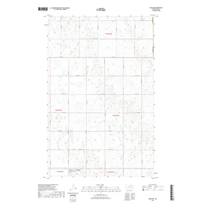
2017 Map of Egeland
USGS Topo · Published 2017About this map
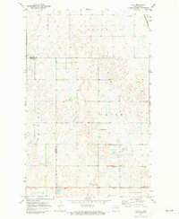
Egeland serves as the focal point of this northern North Dakota landscape, situated along the southern edge of Towner Co. The terrain is characterized by the high density of prairie potholes and wetlands typical of the region, creating a complex patchwork of small water bodies and seasonal basins. This pattern of drainage suggests a landscape largely shaped by glacial recession, leaving behind numerous depressions that have been integrated into the local township and range surveying system. The road network, including 72nd Ave Ne, 74th Ave Ne, and 92nd St Ne, follows a rigid mile-grid structure, bisecting these natural features and framing the agricultural sections of the territory. This map records the precise intersection of natural hydrologic features and the organized human imposition of property and transport boundaries in the early 21st century.
Find a feature on this map
25 named features on this map. Tap any name to fly to it.
Don’t see what you’re looking for? This feature index may not catch every label — zoom into the map to look around manually.
Map Details
Editions of this 2017 Egeland Map
This is the sole edition of this map. No revisions or reprints were ever made.
Other maps of this area

1953 · Devils Lake
USGS Topo · 1:250,000

1956 · Devils Lake
USGS Topo · 1:250,000
1962 · Egeland SE
USGS Topo · 1:24,000
1962 · Egeland SW
USGS Topo · 1:24,000
1962 · Egeland
USGS Topo · 1:24,000
1962 · Snyder Lake
USGS Topo · 1:24,000
1970 · Calvin
USGS Topo · 1:24,000
1970 · Rock Lake
USGS Topo · 1:24,000
1970 · Rock Lake SE
USGS Topo · 1:24,000
1971 · Calio
USGS Topo · 1:24,000