2024 Map of Egeland
USGS Topo · Published 2024About this map
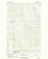
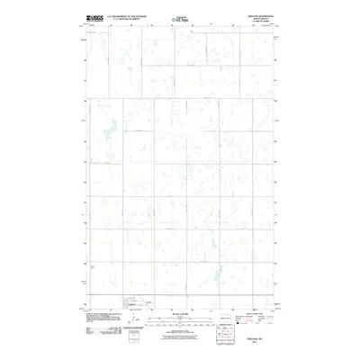
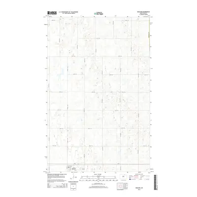
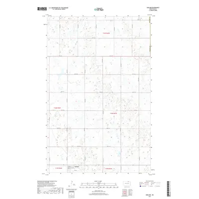
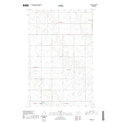
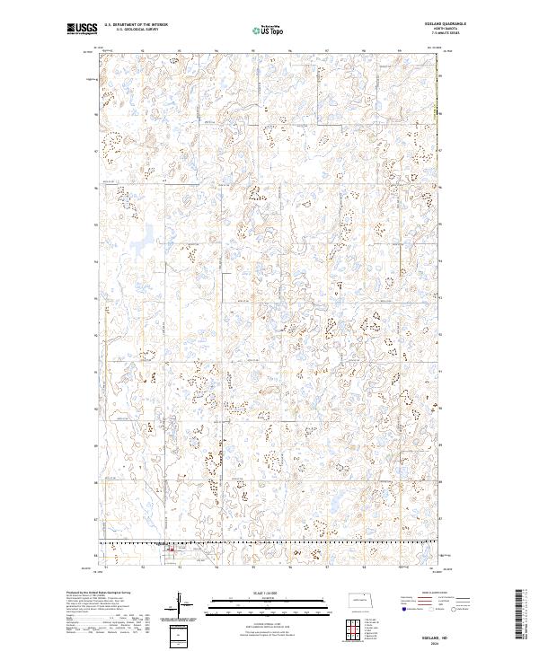
Egeland serves as the primary focal point of this northern plains survey, situated in the southwest corner of the map. The landscape is defined by the rigid grid of the Public Land Survey System, with township lines like t160n r65w and t160n r66w organizing the terrain into distinct sections. This agricultural structure is reinforced by a meticulous network of rural routes, including 92nd St NE at the northern boundary and 71st Ave NE running north-south. The town itself is clearly platted with a small street grid featuring 1st Ave, 2nd Ave, and 4th Ave. Beyond the residential cluster, the topography is characterized by numerous small prairie potholes and wetlands typical of Towner Co, illustrating the complex natural drainage patterns that coexist with the straight-line human geometry of North Dakota's farming country.
Find a feature on this map
26 named features on this map. Tap any name to fly to it.
Don’t see what you’re looking for? This feature index may not catch every label — zoom into the map to look around manually.
Map Details
Editions of this 2024 Egeland Map
This is the sole edition of this map. No revisions or reprints were ever made.
Historical Maps of Egeland Through Time
6 maps found