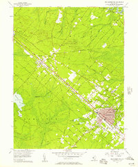
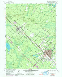
1956 Map of Egg Harbor City
USGS Topo · Published 1957About this map
The Pennsylvania Reading Seashore Lines define the transport spine of this Atlantic County landscape, running northwest to southeast through Egg Harbor City. This 1950s survey documents a region where dense pine barrens meet organized grid settlements. The industrial and civic heart of the area is concentrated along the rail corridor, with Egg Harbor City showing a distinct layout of avenues named after international cities like Antwerp Avenue and Hamburg Avenue.
Find a feature on this map
80 named features on this map. Tap any name to fly to it.
Don’t see what you’re looking for? This feature index may not catch every label — zoom into the map to look around manually.
Map Details
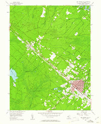
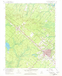
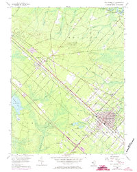
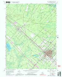
Editions of this 1956 Egg Harbor City Map
6 editions found
Other maps of this area

1890 · Great Egg Harbor
USGS Topo · 1:62,500

1890 · Hammonton
USGS Topo · 1:62,500

1890 · Tuckahoe
USGS Topo · 1:62,500

1890 · Mullica
USGS Topo · 1:62,500

1893 · Great Egg Harbor
USGS Topo · 1:62,500

1893 · Tuckahoe
USGS Topo · 1:62,500

1894 · Hammonton
USGS Topo · 1:62,500

1894 · Mullica
USGS Topo · 1:62,500

1898 · Mullica
USGS Topo · 1:62,500

1898 · Hammonton
USGS Topo · 1:62,500
Featured Places
- Galloway Township, NJ
- Hamilton Township, NJ
- Mullica Township, NJ
- Egg Harbor City, NJ
- Washington Township, NJ