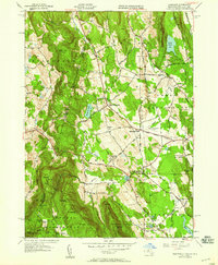
1948 Map of Egremont
USGS Topo · Published 1958About this map
The New York and Massachusetts state line carves through the steep eastern slopes of the Taconic Range, separating Hillsdale from the lowland farming villages of Berkshire County. This 1946 topography reveals a landscape defined by sharp elevation shifts, from the 1,903-foot summit of Mt Fray and the peaks of Mount Washington State Park down to the fertile valleys of North Egremont and South Egremont. A sophisticated mid-century infrastructure is evident in the Great Barrington Airport and Wyantenuck Golf Course, while the Appalachian Trail winds south along the ridgeline of Mt Sterling. Small water bodies like Prospect Lake and Mill Pond anchor the valley floor, connected by winding routes such as Alford North Egremont Road. For genealogists, the map preserves the locations of Riverside Cem and the curiously named Bow Wow Cem.
Find a feature on this map
51 named features on this map. Tap any name to fly to it.
Don’t see what you’re looking for? This feature index may not catch every label — zoom into the map to look around manually.
Map Details
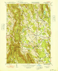
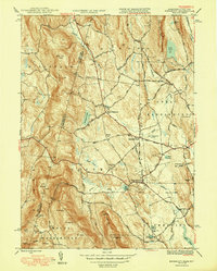
Editions of this 1948 Egremont Map
3 editions found
Other maps of this area

1885 · Sheffield
USGS Topo · 1:62,500

1888 · Sheffield
USGS Topo · 1:62,500

1888 · Pittsfield
USGS Topo · 1:62,500

1890 · Pittsfield
USGS Topo · 1:62,500

1891 · Sheffield
USGS Topo · 1:62,500

1893 · Sheffield
USGS Topo · 1:62,500

1893 · Pittsfield
USGS Topo · 1:62,500

1894 · Pittsfield
USGS Topo · 1:62,500

1897 · Pittsfield
USGS Topo · 1:62,500

1897 · Sheffield
USGS Topo · 1:62,500