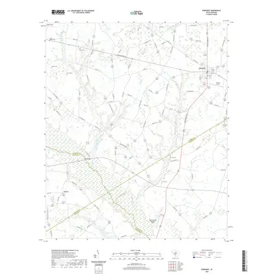
2020 Map of Ehrhardt
USGS Topo · Published 2020About this map
Ehrhardt serves as the primary hub in this Lowcountry landscape where Bamberg, Colleton, Allendale, and Hampton counties meet. The geography is defined by the winding course of the Salkehatchie River and its dense network of tributaries including Threemile Branch, Savannah Cr, and Mc Millian Br. Settlement patterns follow the high ground between these wetlands, marked by family-named landmarks such as the Kearse-Barbham Cem and Rizer Cem. The area maintains its rural character with small communities like Rivers Bridge and Jennys connected by a web of local roads such as Broxton Bridge Rd and Low Country Rd. Aviation markers like the Broxton Bridge Plantation Airport and Ehrhardt Airport highlight the modern use of these large land tracts, while numerous cemeteries provide deep genealogical touchpoints for local family histories.
Find a feature on this map
82 named features on this map. Tap any name to fly to it.
Don’t see what you’re looking for? This feature index may not catch every label — zoom into the map to look around manually.
Map Details
Editions of this 2020 Ehrhardt Map
This is the sole edition of this map. No revisions or reprints were ever made.
Other maps of this area

1918 · Varnville
USGS Topo · 1:62,500

1919 · Olar
USGS Topo · 1:62,500

1919 · Cummings
USGS Topo · 1:62,500

1919 · Lodge
USGS Topo · 1:62,500

1920 · Lodge
USGS Topo · 1:48,000

1921 · Lodge
USGS Topo · 1:62,500

1943 · Olar
USGS Topo · 1:62,500

1943 · Lodge
USGS Topo · 1:62,500

1943 · Orangeburg
USGS Topo · 1:125,000

1943 · Cummings
USGS Topo · 1:62,500