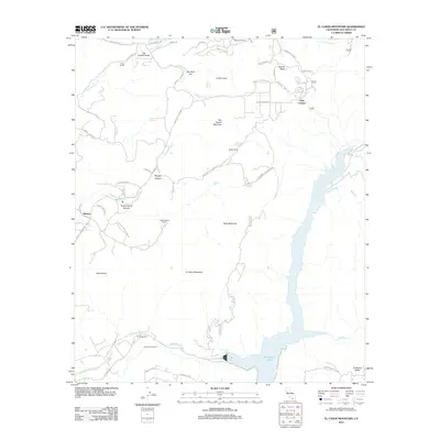
2012 Map of El Cajon Mountain
USGS Topo · Published 2012About this map
The Barona Ranch Indian Res occupies the western portion of this San Diego County landscape, characterized by a series of prominent peaks and ranch lands. The massive El Capitan Lake dominates the southeast corner, fed by the San Diego River as it passes near the Cape Horn Tunnel. Throughout the northern section, local geography is defined by family-named holdings such as Poole Ranch, Mykrantz Ranch, and Grable Ranch, illustrating the legacy of land ownership in the San Vicente Valley. From the heights of El Cajon Mountain and Rock Mountain to the recreation grounds at El Monte Park, the map tracks the intersection of protected tribal lands, water management infrastructure, and residential developments like Barona Mesa.
Find a feature on this map
53 named features on this map. Tap any name to fly to it.
Don’t see what you’re looking for? This feature index may not catch every label — zoom into the map to look around manually.
Map Details
Editions of this 2012 El Cajon Mountain Map
This is the sole edition of this map. No revisions or reprints were ever made.
Other maps of this area

1893 · El Cajon
USGS Topo · 1:62,500

1901 · Elcajon
USGS Topo · 1:62,500

1903 · Cuyamaca
USGS Topo · 1:125,000

1903 · Elcajon
USGS Topo · 1:62,500

1903 · Ramona
USGS Topo · 1:125,000

1904 · Southern California Sheet No. 2
USGS Topo · 1:250,000

1939 · El Cajon
USGS Topo · 1:62,500

1939 · Santa Ysabel
USGS Topo · 1:62,500

1942 · El Cajon
USGS Topo · 1:62,500

1942 · Ramona
USGS Topo · 1:62,500