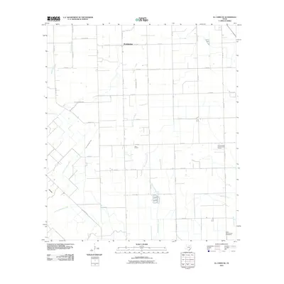
2010 Map of El Campo SE
USGS Topo · Published 2010About this map
Plainview serves as the primary settlement hub in this coastal prairie region of Wharton County, situated at the intersection of FM 1163 Rd and Youngdale Rd. The landscape is defined by a dense grid of rural county roads and farm-to-market routes that facilitate the local agricultural and extraction economies. Significant industrial footprints include the Hillje Oil Field and technical installations like the Radio Astronomical Observatory in the southeast. Water management is a visible priority across the terrain, evidenced by the Plainview Outflow Ditch and the meandering paths of East Carancahua Creek and Stage Stand Creek. Aviation history is noted by the presence of the Smith Aviation Incorporated Airport, while the road names often reflect local family legacies such as Michna Rd and Anderson Rd.
Find a feature on this map
39 named features on this map. Tap any name to fly to it.
Don’t see what you’re looking for? This feature index may not catch every label — zoom into the map to look around manually.
Map Details
Editions of this 2010 El Campo SE Map
This is the sole edition of this map. No revisions or reprints were ever made.
Other maps of this area

1951 · Danevang
USGS Topo · 1:24,000

1952 · Francitas NW
USGS Topo · 1:24,000

1952 · Francitas NE
USGS Topo · 1:24,000

1952 · Midfield
USGS Topo · 1:24,000

1952 · Pierce
USGS Topo · 1:24,000

1953 · Beeville
USGS Topo · 1:250,000

1953 · Seguin
USGS Topo · 1:250,000

1956 · Beeville
USGS Topo · 1:250,000

1958 · Seguin
USGS Topo · 1:250,000

1960 · Beeville
USGS Topo · 1:250,000