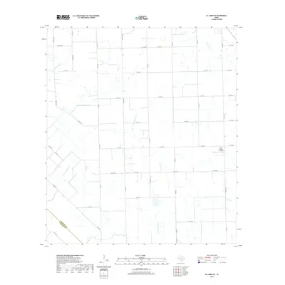
2019 Map of El Campo SE
USGS Topo · Published 2019About this map
The agricultural landscape of the Texas Coastal Plain is defined by a dense grid of rural routes and natural drainage systems near the boundary of Wharton and Jackson counties. Named for the nearby community, Plainview Rd anchors a network of county roads such as Dornack Rd and Anderson Rd that partition the flat terrain into large-scale farming tracts. Local aviation infrastructure is represented by the Smith Aviation Inc Airport, situated in the eastern portion of the quadrangle.
Find a feature on this map
42 named features on this map. Tap any name to fly to it.
Don’t see what you’re looking for? This feature index may not catch every label — zoom into the map to look around manually.
Map Details
Editions of this 2019 El Campo SE Map
This is the sole edition of this map. No revisions or reprints were ever made.
Other maps of this area
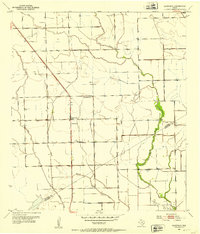
1951 · Danevang
USGS Topo · 1:24,000
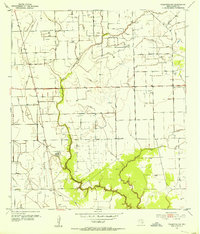
1952 · Francitas NW
USGS Topo · 1:24,000
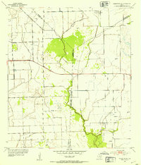
1952 · Francitas NE
USGS Topo · 1:24,000
1952 · Midfield
USGS Topo · 1:24,000
1952 · Pierce
USGS Topo · 1:24,000
1953 · Beeville
USGS Topo · 1:250,000
1953 · Seguin
USGS Topo · 1:250,000
1956 · Beeville
USGS Topo · 1:250,000
1958 · Seguin
USGS Topo · 1:250,000
1960 · Beeville
USGS Topo · 1:250,000