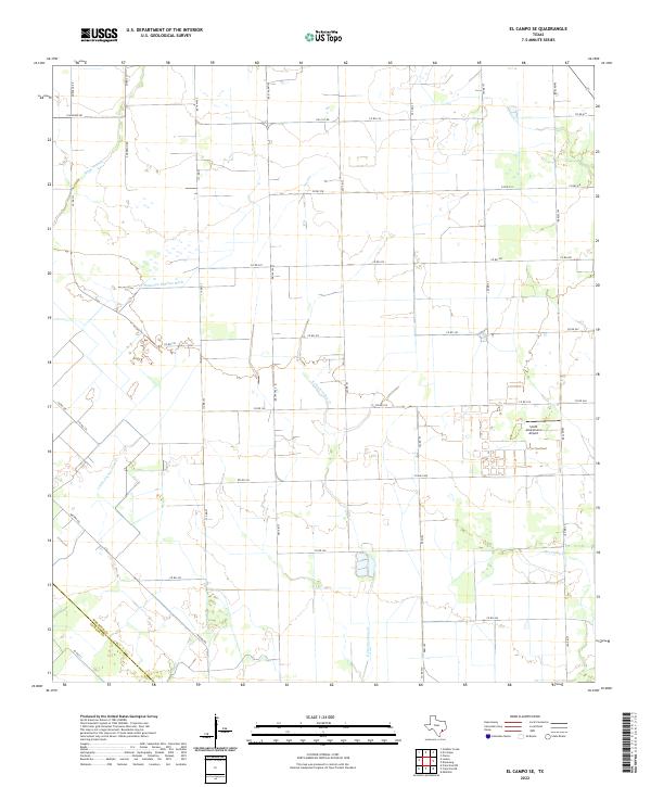
2022 Map of El Campo SE
USGS Topo · Published 2022About this map
E Carancahua Cr and its tributaries, including Little Carancahua Cr and Moccasin Cr, dominate this coastal prairie landscape south of El Campo. This 2022 survey illustrates a region defined by agricultural infrastructure and water management, notably the Plainview Outflow Ditch and a dense grid of county roads such as Co RD 311 and Co RD 324 that facilitate rural transit across the Wharton and Jackson county line. Central to the local industry and aviation history is the Smith Aviation Inc Airport, which serves as a significant landmark in an area otherwise characterized by vast fields and meandering creek beds like Stage Stand Cr. The map provides a clear record of modern Texas land use, where farm-to-market routes like FM 1163 Rd link remote homesteads to the broader region.
Find a feature on this map
42 named features on this map. Tap any name to fly to it.
Don’t see what you’re looking for? This feature index may not catch every label — zoom into the map to look around manually.
Map Details
Editions of this 2022 El Campo SE Map
This is the sole edition of this map. No revisions or reprints were ever made.
Other maps of this area

1951 · Danevang
USGS Topo · 1:24,000

1952 · Francitas NW
USGS Topo · 1:24,000

1952 · Francitas NE
USGS Topo · 1:24,000

1952 · Midfield
USGS Topo · 1:24,000

1952 · Pierce
USGS Topo · 1:24,000

1953 · Beeville
USGS Topo · 1:250,000

1953 · Seguin
USGS Topo · 1:250,000

1956 · Beeville
USGS Topo · 1:250,000

1958 · Seguin
USGS Topo · 1:250,000

1960 · Beeville
USGS Topo · 1:250,000