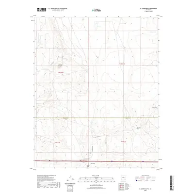
2020 Map of El Cuervo Butte
USGS Topo · Published 2020About this map
El Cuervo Butte stands as a prominent topographical landmark in this high-plains landscape near the border of Santa Fe and Torrance counties. The area is characterized by a network of drainage features known as draws, including Cupido Draw, Porcupine Draw, and Chavez Draw, which illustrate the natural water flow across this semi-arid region. These natural features are interspersed with ranching infrastructure such as Dinosaur Tank and Twin Lakes.
Find a feature on this map
20 named features on this map. Tap any name to fly to it.
Don’t see what you’re looking for? This feature index may not catch every label — zoom into the map to look around manually.
Map Details
Editions of this 2020 El Cuervo Butte Map
This is the sole edition of this map. No revisions or reprints were ever made.
Other maps of this area

1894 · Lamy
USGS Topo · 1:125,000

1954 · Santa Fe
USGS Topo · 1:250,000

1954 · Fort Sumner
USGS Topo · 1:250,000

1958 · Fort Sumner
USGS Topo · 1:250,000

1958 · Santa Fe
USGS Topo · 1:250,000

1960 · Lobo Hill
USGS Topo · 1:62,500

1960 · Stanley
USGS Topo · 1:62,500
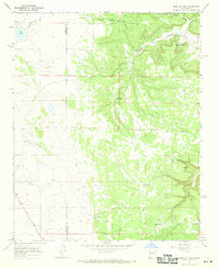
1966 · Mesa El Toro
USGS Topo · 1:24,000
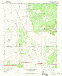
1966 · Clines Corners
USGS Topo · 1:24,000
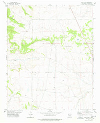
1978 · Rock Lake
USGS Topo · 1:24,000