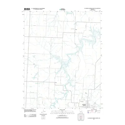
2011 Map of El Dorado Springs North
USGS Topo · Published 2011About this map
El Dorado Springs anchors the southern portion of this landscape, where the street grid gives way to a network of rural roads and watercourses. The area is defined by the winding paths of Clear Creek and Walnut Creek, which feed into the wider basin of the Schell-Osage Reservoir Number 2 to the north. For those researching local family history, several burial sites are recorded across the quadrangle, including the El Dorado Springs Cemetery, Lefler Cemetery, and Martin Cemetery.
Find a feature on this map
27 named features on this map. Tap any name to fly to it.
Don’t see what you’re looking for? This feature index may not catch every label — zoom into the map to look around manually.
Map Details
Editions of this 2011 El Dorado Springs North Map
This is the sole edition of this map. No revisions or reprints were ever made.
Other maps of this area

1886 · Nevada
USGS Topo · 1:125,000

1886 · Stockton
USGS Topo · 1:125,000

1887 · Clinton
USGS Topo · 1:125,000

1887 · Butler
USGS Topo · 1:125,000

1894 · Butler
USGS Topo · 1:125,000

1894 · Nevada
USGS Topo · 1:125,000

1894 · Clinton
USGS Topo · 1:125,000

1934 · Papinsville
USGS Topo · 1:24,000

1934 · Rockville
USGS Topo · 1:24,000

1937 · Tiffin
USGS Topo · 1:31,680