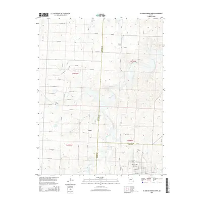
2015 Map of El Dorado Springs North
USGS Topo · Published 2015About this map
El Dorado Springs anchors the southeastern corner of this Missouri landscape, where the town's residential grid meets the winding course of Walnut Cr. The terrain here is defined by a dense network of country roads, such as E Chouteau Rd and E Katy Track Rd, which section the land into agricultural plots and connect small rural clusters like Donia and Portia. Natural drainage patterns are evident through the meandering paths of Clear Creek and Kitten Cr, which cut through the landscape toward larger water bodies like Atkinson Lake.
Find a feature on this map
56 named features on this map. Tap any name to fly to it.
Don’t see what you’re looking for? This feature index may not catch every label — zoom into the map to look around manually.
Map Details
Editions of this 2015 El Dorado Springs North Map
This is the sole edition of this map. No revisions or reprints were ever made.
Other maps of this area

1886 · Nevada
USGS Topo · 1:125,000

1886 · Stockton
USGS Topo · 1:125,000

1887 · Clinton
USGS Topo · 1:125,000

1887 · Butler
USGS Topo · 1:125,000

1894 · Butler
USGS Topo · 1:125,000

1894 · Nevada
USGS Topo · 1:125,000

1894 · Clinton
USGS Topo · 1:125,000

1934 · Papinsville
USGS Topo · 1:24,000

1934 · Rockville
USGS Topo · 1:24,000

1937 · Tiffin
USGS Topo · 1:31,680