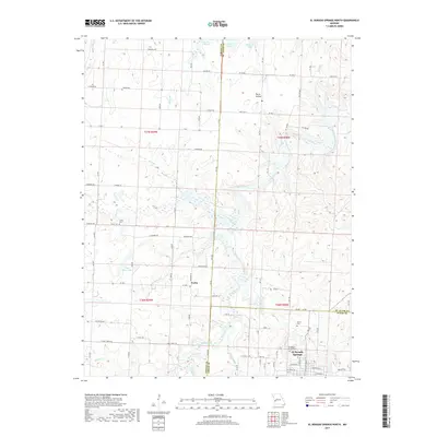
2017 Map of El Dorado Springs North
USGS Topo · Published 2017About this map
El Dorado Springs anchors the southeastern corner of this map, revealing the grid of a classic Missouri town at the border of Cedar Co and St. Clair Co. The surrounding landscape is defined by the winding course of Clear Creek, which is joined by numerous tributaries including Kitten Cr and Beecham Br. Small settlements and named locales like Portia and Pecan Hollow dot the countryside, while the presence of the El Dorado Springs Cem, Martin Cem, and Lefler Cem provides valuable data points for local genealogists. Evidence of rural water management is seen in several reservoirs, such as Atkinson Lake and Floyd Hines Lake, which interrupt the drainage patterns of Walnut Cr and McCord Br. The map also illustrates the dense network of county and state highways, including EE Hwy and Y Hwy, that link these communities together.
Find a feature on this map
60 named features on this map. Tap any name to fly to it.
Don’t see what you’re looking for? This feature index may not catch every label — zoom into the map to look around manually.
Map Details
Editions of this 2017 El Dorado Springs North Map
This is the sole edition of this map. No revisions or reprints were ever made.
Other maps of this area

1886 · Nevada
USGS Topo · 1:125,000

1886 · Stockton
USGS Topo · 1:125,000

1887 · Clinton
USGS Topo · 1:125,000

1887 · Butler
USGS Topo · 1:125,000

1894 · Butler
USGS Topo · 1:125,000

1894 · Nevada
USGS Topo · 1:125,000

1894 · Clinton
USGS Topo · 1:125,000

1934 · Papinsville
USGS Topo · 1:24,000

1934 · Rockville
USGS Topo · 1:24,000

1937 · Tiffin
USGS Topo · 1:31,680