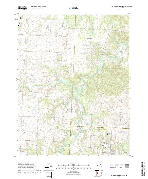
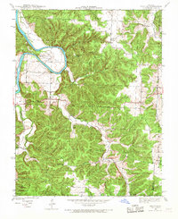
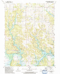
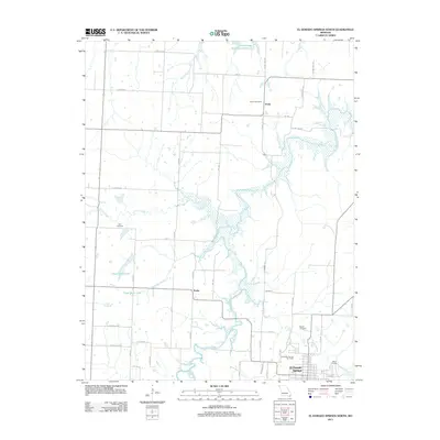
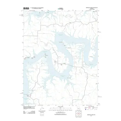
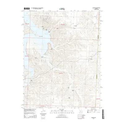
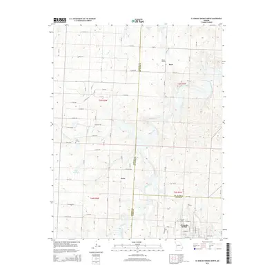
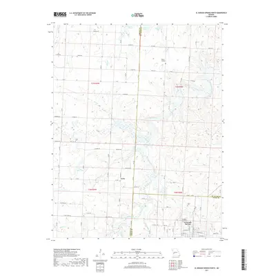
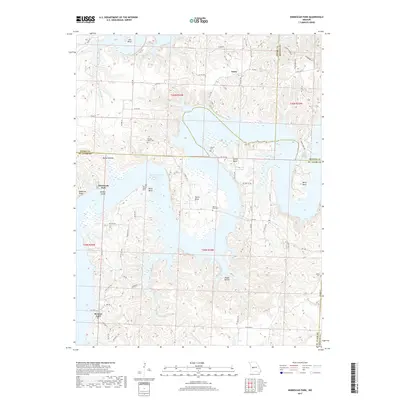
2021 Map of El Dorado Springs North
USGS Topo · Published 2021About this map
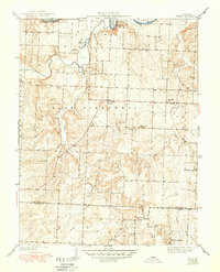
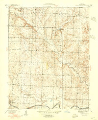
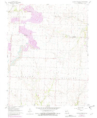
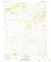
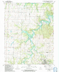
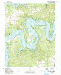
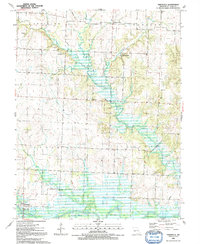
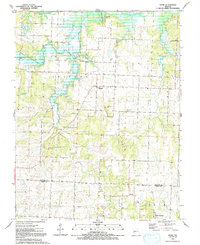
El Dorado Springs sits at the southern edge of this West Central Missouri landscape, where the prairie begins to break into the drainage systems of the Osage River basin. The terrain is defined by the winding course of Clear Creek, which is fed by numerous tributaries including Kitten Cr, Beecham Br, and McCord Br. This area, situated at the intersection of St. Clair, Cedar, and Vernon Counties, shows a well-established rural grid of gravel roads and secondary highways connecting isolated settlements like Portia. Genealogists will find several significant burial sites, such as the El Dorado Springs Cem, Martin Cem, and Lefler Cem, which serve as physical markers of the families who settled this agricultural region. Notable water features like Floyd Hines Lake and the natural depression of Pecan Hollow further characterize the local geography.
Find a feature on this map
54 named features on this map. Tap any name to fly to it.
Don’t see what you’re looking for? This feature index may not catch every label — zoom into the map to look around manually.
Map Details
Editions of this 2021 El Dorado Springs North Map
This is the sole edition of this map. No revisions or reprints were ever made.
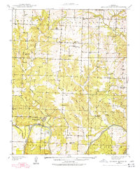
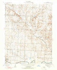
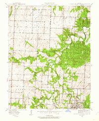
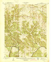
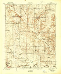
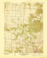
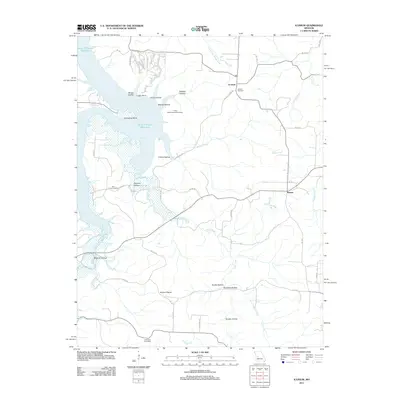
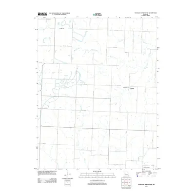
Historical Maps of El Dorado Springs Through Time
54 maps found

1937 Tiffin
St. Clair County, MO
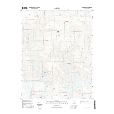
1938 Monegaw Springs
St. Clair County, MO
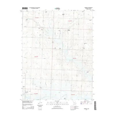
1938 Taberville
St. Clair County, MO
1939 Eldorado Springs North
St. Clair County, MO
1940 Iconium
St. Clair County, MO
1940 Monegaw Springs
St. Clair County, MO
1940 Taberville
St. Clair County, MO
1941 Eldorado Springs North
St. Clair County, MO
1941 Tiffin
St. Clair County, MO
1941 Valhalla
St. Clair County, MO
1944 Iconium
St. Clair County, MO

1945 Valhalla
St. Clair County, MO
1949 Tiffin
St. Clair County, MO
1955 Taberville
St. Clair County, MO
1960 Monegaw Springs NW
St. Clair County, MO
1961 Ohio
St. Clair County, MO
1991 El Dorado Springs North
St. Clair County, MO

1991 Iconium
St. Clair County, MO
1991 Monegaw Springs
St. Clair County, MO
1991 Ninnescah Park
St. Clair County, MO
1991 Taberville
St. Clair County, MO
1991 Tiffin
St. Clair County, MO
2011 El Dorado Springs North
St. Clair County, MO
2011 Iconium
St. Clair County, MO
2011 Monegaw Springs NW
St. Clair County, MO
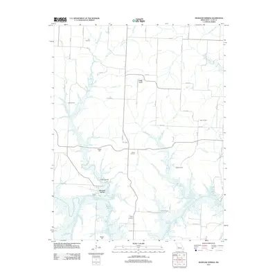
2011 Monegaw Springs
St. Clair County, MO
2011 Ninnescah Park
St. Clair County, MO
2011 Ohio
St. Clair County, MO
2011 Taberville
St. Clair County, MO
2011 Tiffin
St. Clair County, MO
2014 Iconium
St. Clair County, MO
2014 Monegaw Springs NW
St. Clair County, MO
2014 Ninnescah Park
St. Clair County, MO
2014 Ohio
St. Clair County, MO
2015 El Dorado Springs North
St. Clair County, MO
2015 Monegaw Springs
St. Clair County, MO
2015 Taberville
St. Clair County, MO
2015 Tiffin
St. Clair County, MO
2017 El Dorado Springs North
St. Clair County, MO
2017 Iconium
St. Clair County, MO
2017 Monegaw Springs NW
St. Clair County, MO
2017 Monegaw Springs
St. Clair County, MO
2017 Ninnescah Park
St. Clair County, MO
2017 Ohio
St. Clair County, MO
2017 Taberville
St. Clair County, MO
2017 Tiffin
St. Clair County, MO
2021 El Dorado Springs North
St. Clair County, MO
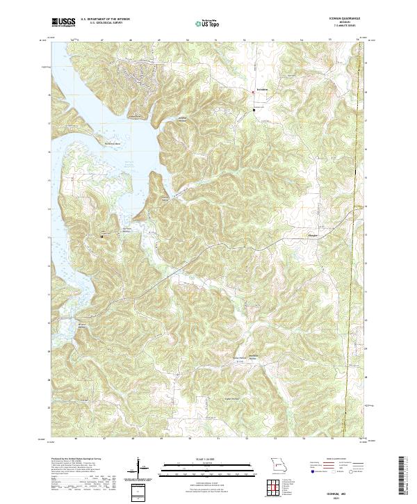
2021 Iconium
St. Clair County, MO
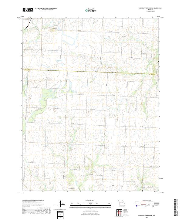
2021 Monegaw Springs NW
St. Clair County, MO
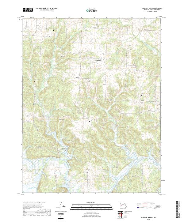
2021 Monegaw Springs
St. Clair County, MO
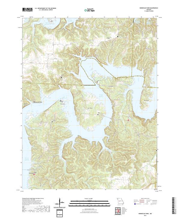
2021 Ninnescah Park
St. Clair County, MO
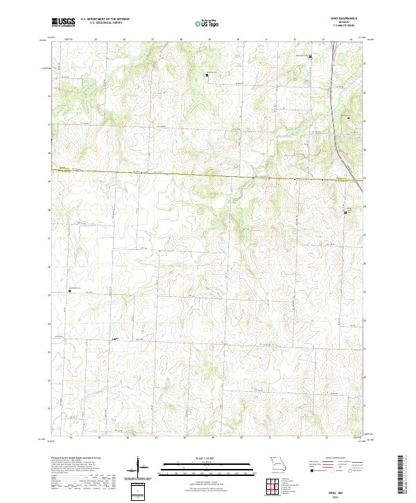
2021 Ohio
St. Clair County, MO
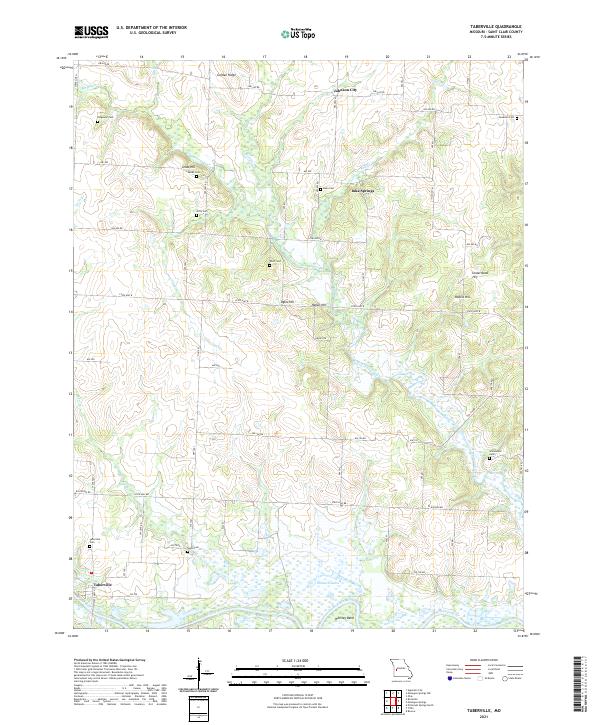
2021 Taberville
St. Clair County, MO
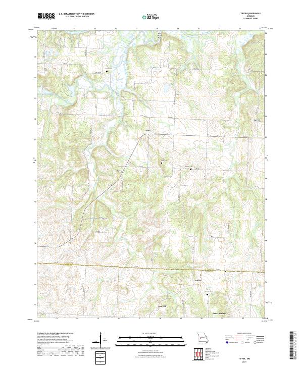
2021 Tiffin
St. Clair County, MO