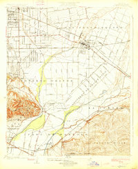
1926 Map of El Monte
USGS Topo · Published 1926About this map
El Monte serves as the focal point for this mid-1920s landscape, positioned at a vital junction where the Southern Pacific and Pacific Electric lines converge. The surrounding territory is defined by the historic rancho partitions, including Potrero Grande and San Francisquito, which organize the grid of early suburban developments like Rosemead and Wilmar. Industry and infrastructure are prominent, from the Edison Power Line cutting across the valley to the O'Donnel Oil Refinery near the southern boundary. The natural hydrology of the Rio Hondo and San Gabriel River dictates the layout of the roads, such as Durfee Road and Whittier Boulevard. Scattered throughout these rural blocks are essential community landmarks, including the Temple School and Roosevelt School, marking the locations of early 20th-century neighborhoods before the post-war building boom transformed the San Gabriel Valley.
Find a feature on this map
48 named features on this map. Tap any name to fly to it.
Don’t see what you’re looking for? This feature index may not catch every label — zoom into the map to look around manually.
Map Details
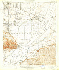
Editions of this 1926 El Monte Map
2 editions found
Other maps of this area

1894 · Los Angeles
USGS Topo · 1:62,500

1894 · Pomona
USGS Topo · 1:62,500

1896 · Pasadena
USGS Topo · 1:62,500

1896 · Anaheim
USGS Topo · 1:62,500

1896 · Downey
USGS Topo · 1:62,500

1897 · Pomona
USGS Topo · 1:62,500

1898 · Pomona
USGS Topo · 1:62,500

1898 · Anaheim
USGS Topo · 1:62,500

1899 · Downey
USGS Topo · 1:62,500

1900 · Pasadena
USGS Topo · 1:62,500