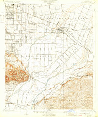
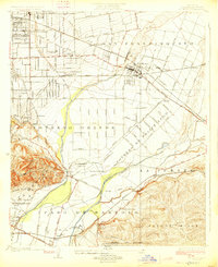
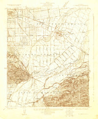
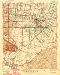
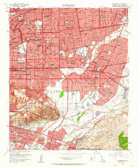
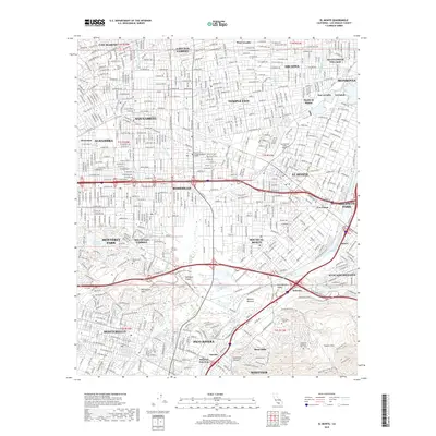
1926 Map of El Monte
USGS Topo · Published 1932About this map
El Monte and its surrounding ranchos define this mid-1920s landscape, where the confluence of the Rio Hondo and the San Gabriel River shaped early development patterns. The map details the transition from large agricultural tracts like Potrero Grande and Potrero de Felipe Lugo to established townites. Industrial and transportation hubs are prominent, specifically the O'donnel Oil Refinery near Pico and the dense network of the Pacific Electric and Southern Pacific Railroad. This survey captures the region just as the expansion of Rosemead and Wilmar began to fill the spaces between historic Spanish land grants. Local education is well-mapped, showing the location of the Roosevelt School, Rosemead School, and the Mill District School, providing a clear look at the social infrastructure of the San Gabriel Valley during this era of growth.
Find a feature on this map
62 named features on this map. Tap any name to fly to it.
Don’t see what you’re looking for? This feature index may not catch every label — zoom into the map to look around manually.
Map Details
Editions of this 1926 El Monte Map
2 editions found
Historical Maps of El Monte Through Time
9 maps found
1923 El Monte
Los Angeles County, CA
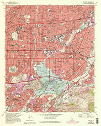
1926 El Monte
Los Angeles County, CA
1948 El Monte
Los Angeles County, CA
1953 El Monte
Los Angeles County, CA
1966 El Monte
Los Angeles County, CA
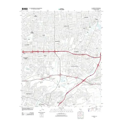
2012 El Monte
Los Angeles County, CA
2015 El Monte
Los Angeles County, CA
2018 El Monte
Los Angeles County, CA
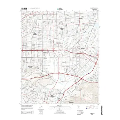
2022 El Monte
Los Angeles County, CA