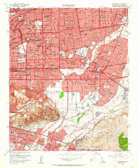
1953 Map of El Monte
USGS Topo · Published 1963About this map
The San Gabriel Mission and its neighboring San Gabriel Mission Cem serve as the cultural anchor for this mid-century look at the San Gabriel Valley. At this moment, the landscape is a dense matrix of post-war suburban expansion, with the San Bernardino Freeway cutting across the grid through El Monte and Rosemead. Traces of the region's earlier ranchos remain in the names of the Potrero Grande and Potrero de Felipe Lugo tracts. To the south, the Whittier Narrows Flood Control Basin is under construction, a massive infrastructure project designed to manage the confluence of the Rio Hondo and the San Gabriel River. This era shows a community in flux, where the Pacific Electric lines still navigate streets alongside new high schools like San Marino High Sch and industrial sites including numerous Oil Wells concentrated near Potrero Heights.
Find a feature on this map
127 named features on this map. Tap any name to fly to it.
Don’t see what you’re looking for? This feature index may not catch every label — zoom into the map to look around manually.
Map Details
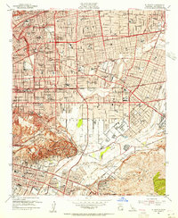
Editions of this 1953 El Monte Map
2 editions found
Other maps of this area

1894 · Los Angeles
USGS Topo · 1:62,500

1894 · Pomona
USGS Topo · 1:62,500

1896 · Pasadena
USGS Topo · 1:62,500

1896 · Anaheim
USGS Topo · 1:62,500

1896 · Downey
USGS Topo · 1:62,500

1897 · Pomona
USGS Topo · 1:62,500

1898 · Pomona
USGS Topo · 1:62,500

1898 · Anaheim
USGS Topo · 1:62,500

1899 · Downey
USGS Topo · 1:62,500

1900 · Pasadena
USGS Topo · 1:62,500