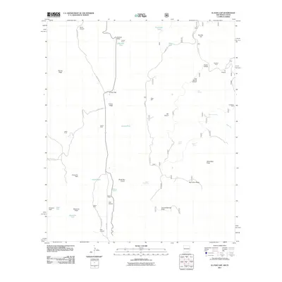
2011 Map of El Paso Gap
USGS Topo · Published 2011About this map
El Paso Gap serves as a critical point of passage in this arid landscape, where the Queens Hwy and County RD 415 intersect amidst a series of prominent ridges and canyons. The distribution of family-named ranching outposts, including Hughes Ranch, Magby Ranch, and McCollum Ranch, indicates a long-standing pattern of pastoral land use in Otero County. Resource management in this dry environment is evident through numerous named water catchments such as Jackson Tank, Hollan Tank, and Kuykendal Tank, alongside natural features like Black River Spring. The eastern edge of the quadrangle reveals industrial history with the Guadalupe Mine, while the southern reaches transition into higher elevations near Camp Wilderness Ridge. The area is defined by sharp topographic shifts, ranging from the depths of Devils Den Canyon to the heights of Panorama Peak and Plowman Peak.
Find a feature on this map
46 named features on this map. Tap any name to fly to it.
Don’t see what you’re looking for? This feature index may not catch every label — zoom into the map to look around manually.
Map Details
Editions of this 2011 El Paso Gap Map
This is the sole edition of this map. No revisions or reprints were ever made.
Other maps of this area
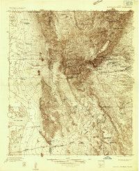
1933 · Guadalupe Peak
USGS Topo · 1:48,000
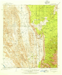
1935 · El Paso Gap
USGS Topo · 1:62,500
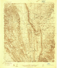
1936 · El Paso Gap
USGS Topo · 1:48,000
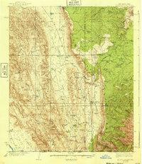
1940 · El Paso Gap
USGS Topo · 1:62,500
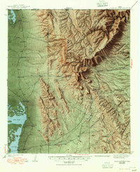
1940 · Guadalupe Peak
USGS Topo · 1:62,500
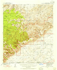
1940 · Carlsbad Caverns West
USGS Topo · 1:62,500
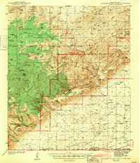
1943 · Carlsbad Caverns West
USGS Topo · 1:62,500

1954 · Carlsbad
USGS Topo · 1:250,000

1954 · Van Horn
USGS Topo · 1:250,000

1958 · Van Horn
USGS Topo · 1:250,000