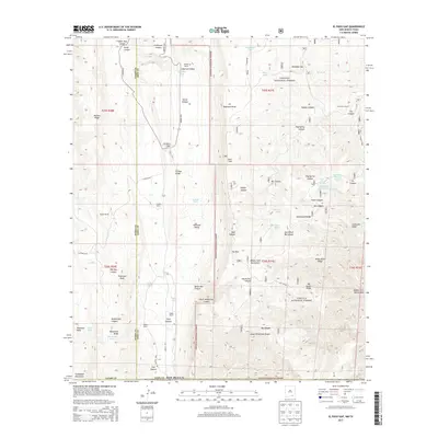
2013 Map of El Paso Gap
USGS Topo · Published 2013About this map
Hughes Ranch and McCollum Ranch anchor this high-desert landscape within the Lincoln National Forest on the border of Otero and Eddy Counties. The terrain is defined by a series of dramatic geographic markers including El Paso Gap, Klondike Gap, and the massive Shattuck Valley. Water management is vital in this arid environment, evidenced by numerous tanks and springs such as Black River Spring, Hollan Tank, and the Black River Water Storage facility. The road network, including Queens Hwy and Lookout Road, follows the natural contours of the ridges and canyons. The map documents the intricate drainage systems of the Middle Fork Big Canyon and North McKittrick Canyon, highlighting the complex topography that governs movement and settlement in this corner of New Mexico.
Find a feature on this map
70 named features on this map. Tap any name to fly to it.
Don’t see what you’re looking for? This feature index may not catch every label — zoom into the map to look around manually.
Map Details
Editions of this 2013 El Paso Gap Map
This is the sole edition of this map. No revisions or reprints were ever made.
Other maps of this area
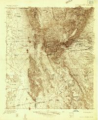
1933 · Guadalupe Peak
USGS Topo · 1:48,000
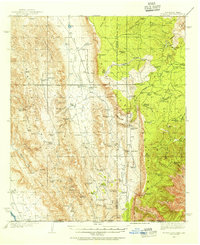
1935 · El Paso Gap
USGS Topo · 1:62,500
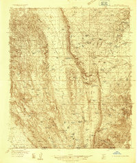
1936 · El Paso Gap
USGS Topo · 1:48,000
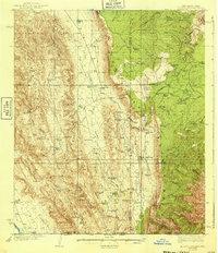
1940 · El Paso Gap
USGS Topo · 1:62,500
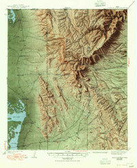
1940 · Guadalupe Peak
USGS Topo · 1:62,500
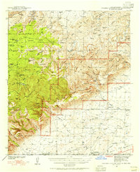
1940 · Carlsbad Caverns West
USGS Topo · 1:62,500
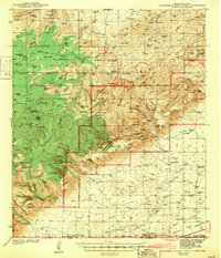
1943 · Carlsbad Caverns West
USGS Topo · 1:62,500

1954 · Carlsbad
USGS Topo · 1:250,000

1954 · Van Horn
USGS Topo · 1:250,000

1958 · Van Horn
USGS Topo · 1:250,000