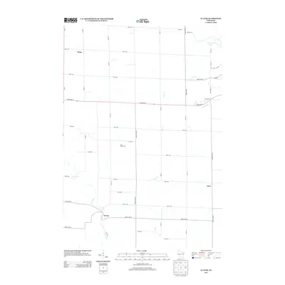
2013 Map of El Paso
USGS Topo · Published 2013About this map
Rush River flows through the heart of this Pierce County landscape, anchoring the small communities of El Paso and Olivet. The terrain is defined by its agricultural character and a network of named waterways including Cave Cr and Mines Cr. In the northern portion of the quadrangle, Viking stands near the intersection of Us-63 and 890th Ave, while the Maple Leaf Orchard provides a localized landmark of the area's rural economy. The presence of Spring Valley Lake 64 in the northeast corner near Boston Rd suggests the varied topography of this western Wisconsin region. This 2013 survey provides a detailed view of the rural road grid, showing how State Road 29 cuts across the township, connecting disparate homesteads and farmsteads.
Find a feature on this map
43 named features on this map. Tap any name to fly to it.
Don’t see what you’re looking for? This feature index may not catch every label — zoom into the map to look around manually.
Map Details
Editions of this 2013 El Paso Map
This is the sole edition of this map. No revisions or reprints were ever made.
Other maps of this area

1935 · Arkansaw
USGS Topo · 1:48,000

1940 · Maiden Rock
USGS Topo · 1:62,500

1941 · Arkansaw
USGS Topo · 1:62,500

1942 · Arkansaw
USGS Topo · 1:62,500

1946 · Knapp
USGS Topo · 1:62,500

1949 · Knapp
USGS Topo · 1:62,500

1949 · Baldwin
USGS Topo · 1:62,500

1950 · Maiden Rock
USGS Topo · 1:62,500

1953 · Saint Paul
USGS Topo · 1:250,000

1959 · Saint Paul
USGS Topo · 1:250,000