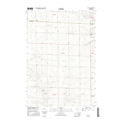
2015 Map of El Paso
USGS Topo · Published 2015About this map
The Rush River and its multiple tributaries define the drainage and topography of this Pierce County landscape. The settlement of El Paso is situated along the river's southern reaches, near the Saint Josephs Catholic Cem, while the community of Spring Valley occupies the northeastern corner of the map. This area is characterized by a dense grid of rural roads and section lines that provide access to several religious landmarks, including the Sacred Heart Cem and the Gilman Lutheran Cem.
Find a feature on this map
62 named features on this map. Tap any name to fly to it.
Don’t see what you’re looking for? This feature index may not catch every label — zoom into the map to look around manually.
Map Details
Editions of this 2015 El Paso Map
This is the sole edition of this map. No revisions or reprints were ever made.
Other maps of this area

1935 · Arkansaw
USGS Topo · 1:48,000

1940 · Maiden Rock
USGS Topo · 1:62,500

1941 · Arkansaw
USGS Topo · 1:62,500

1942 · Arkansaw
USGS Topo · 1:62,500

1946 · Knapp
USGS Topo · 1:62,500

1949 · Knapp
USGS Topo · 1:62,500

1949 · Baldwin
USGS Topo · 1:62,500

1950 · Maiden Rock
USGS Topo · 1:62,500

1953 · Saint Paul
USGS Topo · 1:250,000

1959 · Saint Paul
USGS Topo · 1:250,000