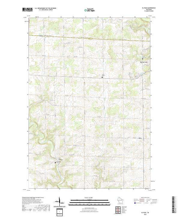
2022 Map of El Paso
USGS Topo · Published 2022About this map
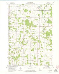
Saint Josephs Catholic Cem and the small settlement of El Paso anchor the southwestern corner of this topographic landscape, situated where the Rush River flows through the rolling terrain of Pierce County. The area is defined by its deep coulees and agricultural tablelands, with drainage systems like Mines Cr and Cave Cr carving distinct patterns across the township lines. Historically significant locations such as the Gilman Lutheran Cem near the center and Sacred Heart Cem to the northeast suggest the long-standing community centers of the region. This survey captures a rural Wisconsin network of gravel and paved roads, including family-named landmarks like Old School Dr, reflecting a landscape where legacy farms and small crossroad communities like Olivet and Viking have persisted alongside the northern reaches of the Rush River.
Find a feature on this map
61 named features on this map. Tap any name to fly to it.
Don’t see what you’re looking for? This feature index may not catch every label — zoom into the map to look around manually.
Map Details
Editions of this 2022 El Paso Map
This is the sole edition of this map. No revisions or reprints were ever made.
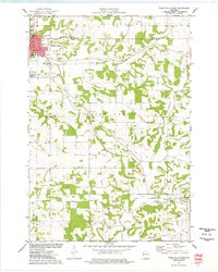
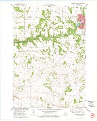
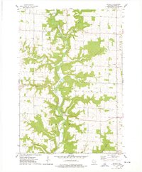
Historical Maps of El Paso Through Time
17 maps found

1972 Nerike Hill
Pierce County, WI
1974 Diamond Bluff East
Pierce County, WI
1974 Diamond Bluff West
Pierce County, WI
1974 El Paso
Pierce County, WI
1974 Martell
Pierce County, WI
1974 River Falls East
Pierce County, WI
1974 River Falls West
Pierce County, WI
1974 Waverly
Pierce County, WI
1992 Diamond Bluff West
Pierce County, WI
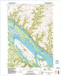
2022 Diamond Bluff East
Pierce County, WI
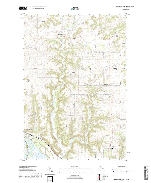
2022 Diamond Bluff West
Pierce County, WI
2022 El Paso
Pierce County, WI
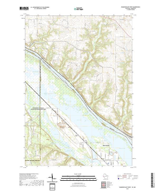
2022 Martell
Pierce County, WI
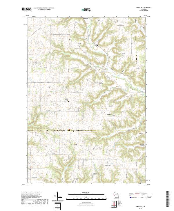
2022 Nerike Hill
Pierce County, WI
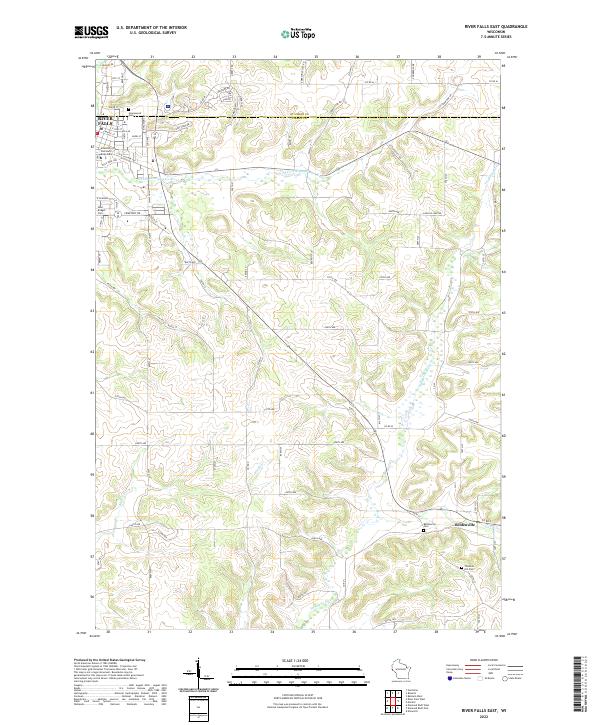
2022 River Falls East
Pierce County, WI
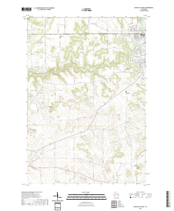
2022 River Falls West
Pierce County, WI
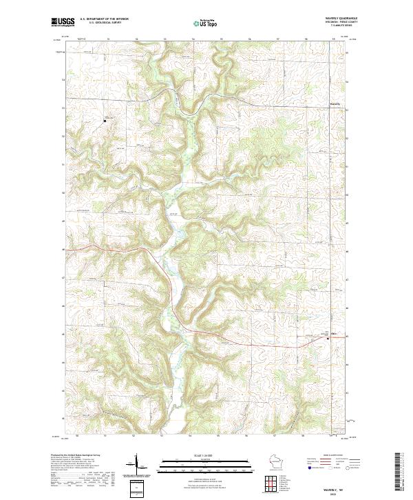
2022 Waverly
Pierce County, WI