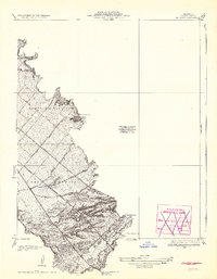
1935 Map of El Toro
USGS Topo · Published 1942About this map
Moulton Ranch and the small settlement of El Toro anchor this Orange County landscape during the early 1930s, showing a transition between established agricultural land and the burgeoning transportation network of Southern California. The topography is dominated by the ridges of Lomas De Santiago and Cañada De Los Alisos, where seasonal drainage features like Agua Chinon Wash and Bee Canyon Wash cut through the terrain toward the coastal plain.
Find a feature on this map
18 named features on this map. Tap any name to fly to it.
Don’t see what you’re looking for? This feature index may not catch every label — zoom into the map to look around manually.
Map Details
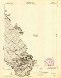
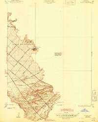
Editions of this 1935 El Toro Map
4 editions found

Other maps of this area

1896 · Santa Ana
USGS Topo · 1:62,500

1896 · Anaheim
USGS Topo · 1:62,500

1898 · Anaheim
USGS Topo · 1:62,500

1901 · Southern California Sheet No. 1
USGS Topo · 1:250,000

1901 · Santa Ana
USGS Topo · 1:62,500

1901 · Anaheim
USGS Topo · 1:62,500

1902 · Corona
USGS Topo · 1:125,000

1904 · Southern California Sheet No. 1
USGS Topo · 1:250,000

1932 · Orange
USGS Topo · 1:31,680

1932 · Tustin
USGS Topo · 1:31,680