
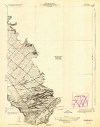
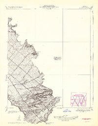
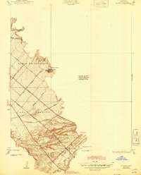
1935 Map of El Toro
USGS Topo · Published 1935About this map
El Toro and the surrounding ranch lands of southern Orange County are captured here during the early 1930s, showing a landscape defined by large holdings and a developing transportation network. Family-named landmarks such as Moulton Ranch and Serrano Place underscore the region's agricultural roots and the legacy of early California land grants. The topography is dominated by the ridges of Lomas De Santiago and the broad flats of San Joaquin, where numerous seasonal washes like Bee Canyon Wash and Borrego Canyon Wash drain toward the coast.
Find a feature on this map
24 named features on this map. Tap any name to fly to it.
Don’t see what you’re looking for? This feature index may not catch every label — zoom into the map to look around manually.
Map Details
Editions of this 1935 El Toro Map
4 editions found
Other maps of this area

1896 · Santa Ana
USGS Topo · 1:62,500

1896 · Anaheim
USGS Topo · 1:62,500

1898 · Anaheim
USGS Topo · 1:62,500

1901 · Southern California Sheet No. 1
USGS Topo · 1:250,000

1901 · Santa Ana
USGS Topo · 1:62,500

1901 · Anaheim
USGS Topo · 1:62,500

1902 · Corona
USGS Topo · 1:125,000

1904 · Southern California Sheet No. 1
USGS Topo · 1:250,000

1932 · Orange
USGS Topo · 1:31,680

1932 · Tustin
USGS Topo · 1:31,680