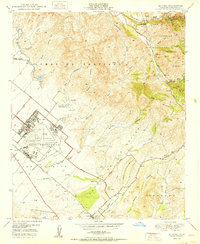
1950 Map of El Toro
USGS Topo · Published 1950About this map
The El Toro Air Station Naval Reservation dominates the western plains of this Orange County landscape, positioned where the flatlands meet the rising foothills of the Cleveland National Forest. This mid-century survey captures a transition from agricultural ranching to military and early suburban development. The Atchison Topeka and Santa Fe railroad runs through the small settlement of El Toro, providing a lifeline for the area's early economy. In the rugged eastern canyons, smaller communities like Modjeska and Pancho reflect a more remote, mountain-bound way of life near the Silverado School. The terrain is deeply etched by a network of seasonal washes and canyons, including Limestone Canyon and the geological curiosity known as The Sinks. Scattered features like the Coal Mine (Inactive) and Silverado Guard Sta (Inactive) hint at the region's earlier industrial and resource management history.
Find a feature on this map
55 named features on this map. Tap any name to fly to it.
Don’t see what you’re looking for? This feature index may not catch every label — zoom into the map to look around manually.
Map Details
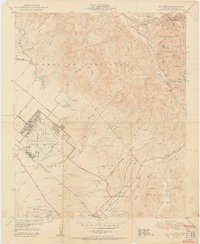
Editions of this 1950 El Toro Map
2 editions found
Other maps of this area

1896 · Santa Ana
USGS Topo · 1:62,500

1896 · Anaheim
USGS Topo · 1:62,500

1898 · Anaheim
USGS Topo · 1:62,500

1901 · Southern California Sheet No. 1
USGS Topo · 1:250,000

1901 · Santa Ana
USGS Topo · 1:62,500

1901 · Anaheim
USGS Topo · 1:62,500

1902 · Corona
USGS Topo · 1:125,000

1904 · Southern California Sheet No. 1
USGS Topo · 1:250,000

1932 · Orange
USGS Topo · 1:31,680

1932 · Tustin
USGS Topo · 1:31,680