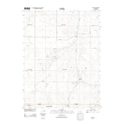
2013 Map of Elbert
USGS Topo · Published 2013About this map
Elbert sits at the junction of Co Road 21 and N Elbert Rd, serving as a central hub for the surrounding High Plains ranchlands. This rural landscape is defined by the winding paths of Kiowa Creek and Running Creek, which carve through the terrain as they flow northward. Evidence of water management for agriculture is visible at the Kiowa Creek Watershed 2-J-10 Reservoir and the Franktown Parker FPA-1 Reservoir. To the south, the northern reaches of the Black Forest begin to appear along the border of Elbert and El Paso counties. Genealogists and local historians can find family records at the Elbert Cem and the more remote James Cem, while the presence of the Flying Lazy D Ranch Airport and Peaceful Valley Ranch reflects the enduring ranching economy of the early 21st century.
Find a feature on this map
47 named features on this map. Tap any name to fly to it.
Don’t see what you’re looking for? This feature index may not catch every label — zoom into the map to look around manually.
Map Details
Editions of this 2013 Elbert Map
This is the sole edition of this map. No revisions or reprints were ever made.
Other maps of this area
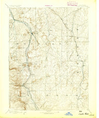
1894 · Castle Rock
USGS Topo · 1:125,000
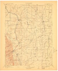
1913 · Castle Rock
USGS Topo · 1:125,000
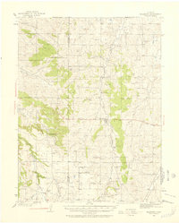
1939 · Elizabeth
USGS Topo · 1:62,500
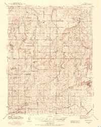
1940 · Elbert
USGS Topo · 1:62,500
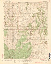
1944 · Elbert
USGS Topo · 1:62,500
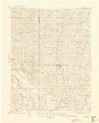
1945 · Elizabeth
USGS Topo · 1:62,500
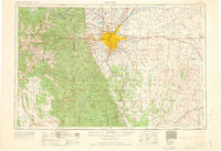
1953 · Denver
USGS Topo · 1:250,000
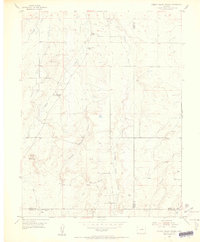
1954 · Cherry Valley School
USGS Topo · 1:24,000
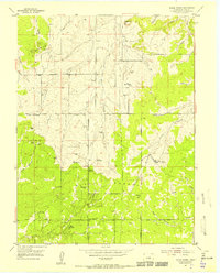
1954 · Black Forest
USGS Topo · 1:24,000
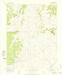
1954 · Eastonville
USGS Topo · 1:24,000