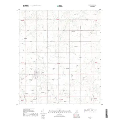
2020 Map of Elberta
USGS Topo · Published 2020About this map
Elberta and the eastern edge of Foley anchor this Baldwin County landscape as it appeared in the early 21st century. The region is defined by a dense network of coastal tributaries, including the Blackwater River, Threemile Creek, and Soldier Creek, which wind through the low-lying terrain toward the Gulf coast. The map reveals a transition from the structured street grid of Elberta—notable for local landmarks like Saint Marks Cemetery—to a rural-residential periphery marked by small private airfields such as Horak Airport and Perdido Winds Airpark.
Find a feature on this map
106 named features on this map. Tap any name to fly to it.
Don’t see what you’re looking for? This feature index may not catch every label — zoom into the map to look around manually.
Map Details
Editions of this 2020 Elberta Map
This is the sole edition of this map. No revisions or reprints were ever made.
Other maps of this area

1920 · Robertsdale
USGS Topo · 1:62,500

1921 · Bon Secour
USGS Topo · 1:62,500

1921 · Fort Barrancas
USGS Topo · 1:62,500

1921 · Muscogee
USGS Topo · 1:62,500

1941 · Fort Barrancas
USGS Topo · 1:62,500

1941 · Muscogee
USGS Topo · 1:62,500

1941 · Robertsdale
USGS Topo · 1:62,500

1941 · Foley
USGS Topo · 1:62,500

1943 · Robertsdale
USGS Topo · 1:62,500

1943 · Muscogee
USGS Topo · 1:62,500