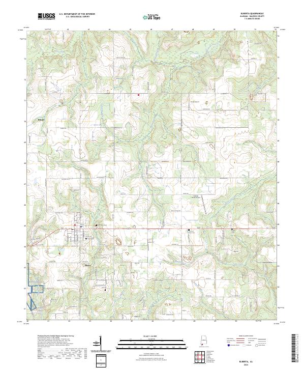
2024 Map of Elberta
USGS Topo · Published 2024About this map
The town of Elberta and the eastern edge of Foley anchor this coastal Alabama landscape, defined by a dense network of local roads and watercourses. Small-scale aviation and military history are prominent, with the expansive Barin Field in the southwest and private facilities like Horak Airport and Perdido Winds Airpark dotting the interior. This area is characterized by its numerous family and community burial grounds, including Elberta Cem, Saint Marks Cem, and the Prince of Peace Cem, which serve as vital touchstones for local genealogical research.
Find a feature on this map
110 named features on this map. Tap any name to fly to it.
Don’t see what you’re looking for? This feature index may not catch every label — zoom into the map to look around manually.
Map Details
Editions of this 2024 Elberta Map
This is the sole edition of this map. No revisions or reprints were ever made.
Other maps of this area

1920 · Robertsdale
USGS Topo · 1:62,500

1921 · Bon Secour
USGS Topo · 1:62,500

1921 · Fort Barrancas
USGS Topo · 1:62,500

1921 · Muscogee
USGS Topo · 1:62,500

1941 · Fort Barrancas
USGS Topo · 1:62,500

1941 · Muscogee
USGS Topo · 1:62,500

1941 · Robertsdale
USGS Topo · 1:62,500

1941 · Foley
USGS Topo · 1:62,500

1943 · Robertsdale
USGS Topo · 1:62,500

1943 · Muscogee
USGS Topo · 1:62,500