Loading...
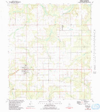
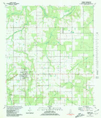
Loading map...1980 Map of Elberta
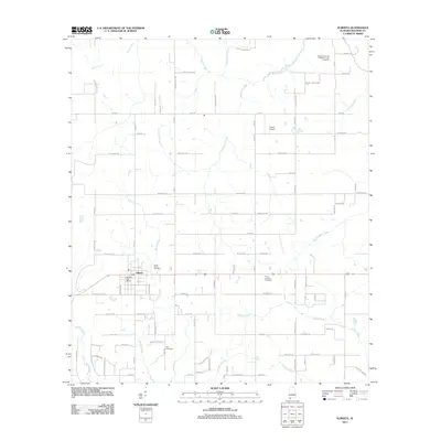
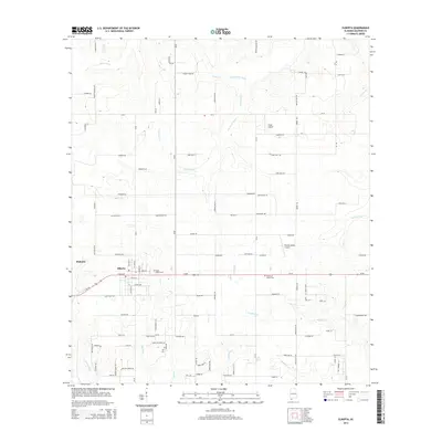
USGS Topo · Published 1991About this map
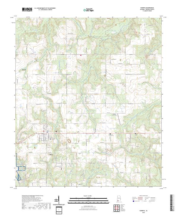
Elberta serves as the focal point of this coastal Alabama landscape, situated at the junction of several local waterways and thoroughfares like Dixie Road. The town's social fabric is visible through its diverse religious and memorial sites, including Bartholomew Ch, Berean Ch, and St Marks Cem. To the southwest, the OLF Barin US Naval Reservation indicates the region's mid-century military importance, while the Horak Airport to the north suggests a reliance on private aviation in this rural corridor.
Find a feature on this map
25 named features on this map. Tap any name to fly to it.
Don’t see what you’re looking for? This feature index may not catch every label — zoom into the map to look around manually.
Map Details
Date Portrayed1980
Date Published1991
PublisherU.S. Geological Survey
Map TypeTopographic
Scale1:24,000
Physical Dimensions24 x 26.8 inches
Editions of this 1980 Elberta Map
2 editions found
Historical Maps of Foley Through Time
6 maps found
Featured Locations
Source Details
SourceU.S. Geological Survey
CopyrightPublic Domain