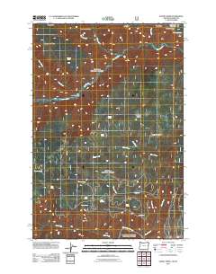
2011 Map of Elbow Creek
USGS Topo · Published 2011About this map
Wenaha River and Grande Ronde River anchor this remote section of the Blue Mountains, where the deep drainage of Big Hole Canyon meets a complex network of high ridges. The landscape is defined by its numerous watering points, including Huntit Spring, Mosier Spring, and Skull Spring, which historically supported livestock and wildlife across this elevated terrain. A distinct pattern of Forest Service roads traces the contours of Hoodoo Ridge and Grizzly Bear Ridge, providing access to isolated landmarks such as Squaw Falls. This 2011 survey documents the geographic intersection of Rattlesnake Ridge and Patterson Ridge, highlighting the importance of names like Round Meadow for navigation in a region largely defined by its dramatic relief and water sources.
Find a feature on this map
27 named features on this map. Tap any name to fly to it.
Don’t see what you’re looking for? This feature index may not catch every label — zoom into the map to look around manually.
Map Details
Editions of this 2011 Elbow Creek Map
This is the sole edition of this map. No revisions or reprints were ever made.
Other maps of this area

1937 · Pomeroy
USGS Topo · 1:96,000

1942 · Pomeroy
USGS Topo · 1:125,000

1955 · Pullman
USGS Topo · 1:250,000

1955 · Grangeville
USGS Topo · 1:250,000

1958 · Pullman
USGS Topo · 1:250,000

1959 · Grangeville
USGS Topo · 1:250,000

1967 · Fry Meadow
USGS Topo · 1:24,000

1967 · Eden
USGS Topo · 1:24,000

1967 · Elbow Creek
USGS Topo · 1:24,000

1967 · Oregon Butte
USGS Topo · 1:24,000