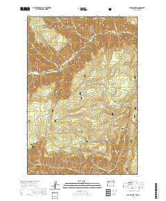
2020 Map of Elbow Creek
USGS Topo · Published 2020About this map
Umatilla National Forest and Wallowa National Forest define this 2020 terrain, where the northern and southern boundaries are carved by significant waterways. The Wenaha River winds through the north, protected by the Wenaha Wild and Scenic River designation, while the Grande Ronde River cuts across the southern reach. The map reveals an intricate network of backcountry access, including the Grizzly Bear Trail and Butte Creek Trail, which navigate the steep elevations of Grizzly Bear Ridge and Rattlesnake Ridge.
Find a feature on this map
47 named features on this map. Tap any name to fly to it.
Don’t see what you’re looking for? This feature index may not catch every label — zoom into the map to look around manually.
Map Details
Editions of this 2020 Elbow Creek Map
This is the sole edition of this map. No revisions or reprints were ever made.
Other maps of this area

1937 · Pomeroy
USGS Topo · 1:96,000

1942 · Pomeroy
USGS Topo · 1:125,000

1955 · Pullman
USGS Topo · 1:250,000

1955 · Grangeville
USGS Topo · 1:250,000

1958 · Pullman
USGS Topo · 1:250,000

1959 · Grangeville
USGS Topo · 1:250,000

1967 · Fry Meadow
USGS Topo · 1:24,000

1967 · Eden
USGS Topo · 1:24,000

1967 · Elbow Creek
USGS Topo · 1:24,000

1967 · Oregon Butte
USGS Topo · 1:24,000