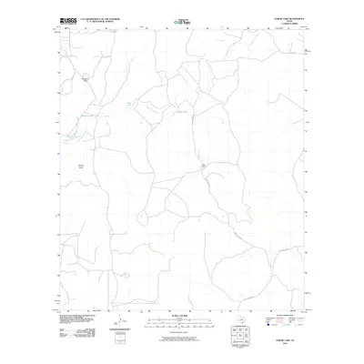
2010 Map of Elbow Lake
USGS Topo · Published 2010About this map
The South Llano River carves a winding path through this portion of Edwards County, defining a landscape shaped by intermittent water and ranching tradition. The geography is characterized by several distinctive depressions and small water bodies, including the namesake Elbow Lake, along with Mud Lake, McKenzie Lake, and Black Lake. These features, alongside drainage patterns like McKenzie Draw and Phillips Draw, highlight the hydrological complexity of the Texas Hill Country. Settlement is sparse, anchored by the Taylor Ranch, which is served by a network of local thoroughfares such as Taylor Ranch Rd. Historical transit through the area is further evidenced by Old Junction Rd, which suggests a long-standing connection to the larger regional hub of Junction. The lack of dense development underscores the enduring pastoral character of this remote river valley.
Find a feature on this map
10 named features on this map. Tap any name to fly to it.
Don’t see what you’re looking for? This feature index may not catch every label — zoom into the map to look around manually.
Map Details
Editions of this 2010 Elbow Lake Map
This is the sole edition of this map. No revisions or reprints were ever made.
Other maps of this area

1893 · Rock Springs
USGS Topo · 1:125,000

1954 · Sonora
USGS Topo · 1:250,000

1958 · Sonora
USGS Topo · 1:250,000

1962 · Hill Ranch
USGS Topo · 1:24,000

1962 · Stewart Ranch
USGS Topo · 1:24,000
1962 · Bundy Ranch
USGS Topo · 1:24,000
1971 · Paint Rock Spring
USGS Topo · 1:24,000
1971 · Ray Lake SE
USGS Topo · 1:24,000
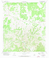
1971 · Devils Sinkhole
USGS Topo · 1:24,000
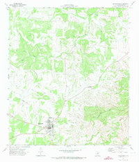
1971 · Rocksprings
USGS Topo · 1:24,000