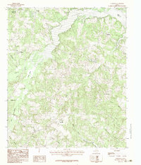
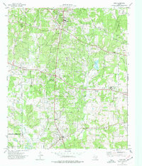
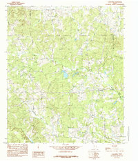
1983 Map of Elderville
USGS Topo · Published 1983This historical map portrays the area of Elderville in 1983, primarily covering Rusk County as well as portions of Gregg County. Featuring a scale of 1:24000, this map provides a highly detailed snapshot of the terrain, roads, buildings, counties, and historical landmarks in the Elderville region at the time. Published in 1983, it is one of 2 known editions of this map due to revisions or reprints.
Find a feature on this map
28 named features on this map. Tap any name to fly to it.
Don’t see what you’re looking for? This feature index may not catch every label — zoom into the map to look around manually.
Map Details
Editions of this 1983 Elderville Map
2 editions found
Historical Maps of Rusk County Through Time
12 maps found
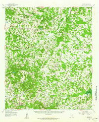
1960 Minden
Rusk County, TX
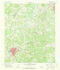
1971 Kilgore SE
Rusk County, TX
1971 Kilgore SW
Rusk County, TX
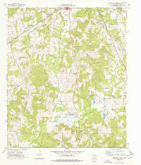
1973 Berryhill Creek
Rusk County, TX
1973 Gum Springs
Rusk County, TX
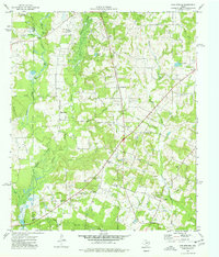
1973 Laneville
Rusk County, TX
1973 New Salem
Rusk County, TX
1973 Price
Rusk County, TX
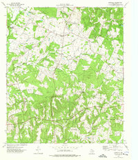
1983 Church Hill
Rusk County, TX
1983 Elderville
Rusk County, TX
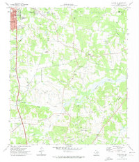
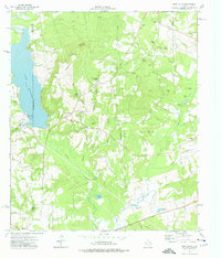
1983 Minden
Rusk County, TX
1984 Caledonia
Rusk County, TX