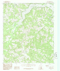
1983 Map of Elderville
USGS Topo · Published 1987About this map
Cherokee Lake dominates the northern reaches of this East Texas landscape, where the Gregg Co Rusk Co line zigzags through the water and wooded terrain. The area is characterized by a dense network of small settlements and family-named watercourses, including Lee Creek and Panther Creek. The presence of a Grave near Monroe and several small, scattered communities like Elderville, Stewart, and Nix suggests a pattern of rural development centered around local crossroads and family land holdings. Small water bodies such as Long Glade Lake and Nix Lake dot the southeast, while the County Airport at the northern edge points toward modern infrastructural shifts in this corner of Rusk County. Many of the creek names, such as Tiawichi Creek and Tenny Lewis Branch, reflect a localized nomenclature that is essential for tracing lineage and historical land use in this timber-rich region.
Find a feature on this map
30 named features on this map. Tap any name to fly to it.
Don’t see what you’re looking for? This feature index may not catch every label — zoom into the map to look around manually.
Map Details
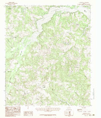
Editions of this 1983 Elderville Map
2 editions found
Other maps of this area

1935 · Henderson
USGS Topo · 1:48,000

1936 · Kilgore
USGS Topo · 1:48,000

1939 · Henderson
USGS Topo · 1:62,500

1940 · Kilgore
USGS Topo · 1:62,500

1956 · Tyler
USGS Topo · 1:250,000

1958 · Tatum
USGS Topo · 1:62,500

1960 · Minden
USGS Topo · 1:62,500

1971 · Kilgore NE
USGS Topo · 1:24,000
1971 · Kilgore SE
USGS Topo · 1:24,000

1973 · Henderson
USGS Topo · 1:24,000