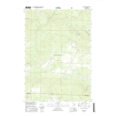
2017 Map of Eldorado
USGS Topo · Published 2017About this map
The South Branch Au Sable River winds through the northern reaches of this landscape, carving a path through the dense woodlands of the Huron National Forest. In the early 21st century, this region remains defined by its recreational trail networks and quiet inland waters. Long-distance routes like the Mi Shore to Shore Horse&Hike and the Midland-Mackinaw Trail System converge here, tracing the same ridges used by early travelers. The settlement of Eldorado serves as a small local hub, while the surrounding area is dotted with small kettle lakes, including Hiscock Lake, Kellogg Lake, and Hunters Lake. For genealogists, several local burial grounds are documented, including Rock Cem near the river and Richfield Cem along the southern border between Crawford and Roscommon counties.
Find a feature on this map
57 named features on this map. Tap any name to fly to it.
Don’t see what you’re looking for? This feature index may not catch every label — zoom into the map to look around manually.
Map Details
Editions of this 2017 Eldorado Map
This is the sole edition of this map. No revisions or reprints were ever made.
Other maps of this area
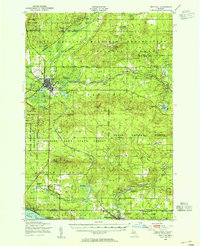
1949 · Grayling
USGS Topo · 1:62,500
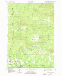
1950 · Roscommon North
USGS Topo · 1:24,000
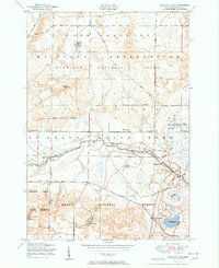
1951 · Wakeley Lake
USGS Topo · 1:24,000
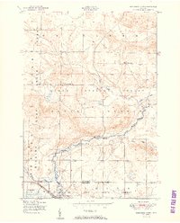
1951 · Roscommon North
USGS Topo · 1:24,000
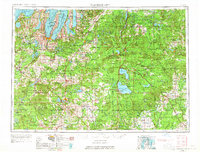
1954 · Traverse City
USGS Topo · 1:250,000
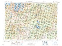
1958 · Traverse City
USGS Topo · 1:250,000
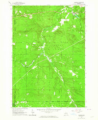
1963 · Luzerne
USGS Topo · 1:24,000
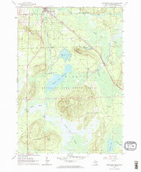
1963 · Roscommon South
USGS Topo · 1:24,000
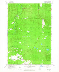
1963 · Eldorado
USGS Topo · 1:24,000
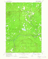
1963 · Luzerne NW
USGS Topo · 1:24,000
Featured Places
- Higgins Township, MI
- Grayling Charter Township, MI
- South Branch Township, MI
- Au Sable Township, MI
- Eldorado, MI