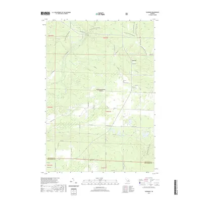
2019 Map of Eldorado
USGS Topo · Published 2019About this map
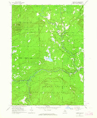
The South Branch Au Sable River meanders through the northwest corner of this Michigan landscape, defining a terrain largely shaped by the sprawling Huron National Forest. The small settlement of Eldorado serves as a local focal point near the Crawford and Roscommon County line, connected by a network of forest roads and historic routes like Meridian Rd and Old 144 Rd. A dense system of equestrian and hiking paths, including the MI Shore to Shore Horse&Hike and the Midland-Mackinaw Trail System, underscores the region's character as a managed wilderness area.
Find a feature on this map
63 named features on this map. Tap any name to fly to it.
Don’t see what you’re looking for? This feature index may not catch every label — zoom into the map to look around manually.
Map Details
Editions of this 2019 Eldorado Map
This is the sole edition of this map. No revisions or reprints were ever made.
Other maps of this area
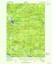
1949 · Grayling
USGS Topo · 1:62,500
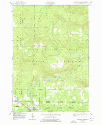
1950 · Roscommon North
USGS Topo · 1:24,000
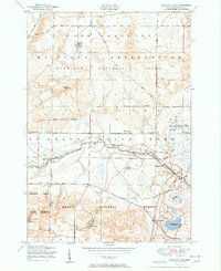
1951 · Wakeley Lake
USGS Topo · 1:24,000
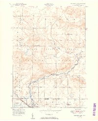
1951 · Roscommon North
USGS Topo · 1:24,000

1954 · Traverse City
USGS Topo · 1:250,000

1958 · Traverse City
USGS Topo · 1:250,000
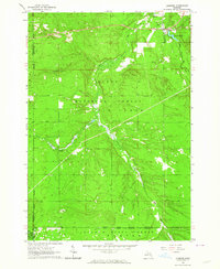
1963 · Luzerne
USGS Topo · 1:24,000
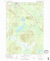
1963 · Roscommon South
USGS Topo · 1:24,000
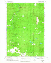
1963 · Eldorado
USGS Topo · 1:24,000
1963 · Luzerne NW
USGS Topo · 1:24,000
Featured Places
- Higgins Township, MI
- Grayling Charter Township, MI
- South Branch Township, MI
- Au Sable Township, MI
- Eldorado, MI