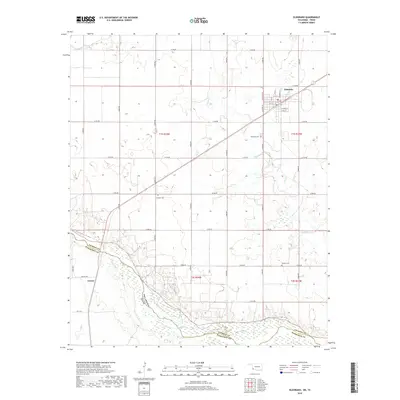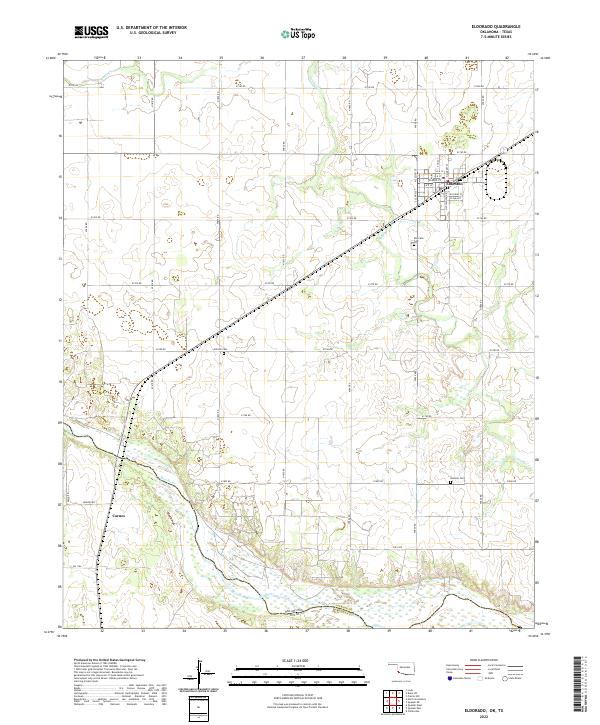
2022 Map of Eldorado
USGS Topo · Published 2022About this map
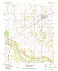
Eldorado serves as the primary hub of this Southwest Oklahoma landscape, situated just north of the Oklahoma-Texas border. The town's grid is clearly defined by local streets such as W Main St, W B St, and W Glenn St, reflecting a settled agricultural community. Beyond the town limits, the terrain is characterized by the winding path of Sandy Creek and the wide, braided corridor of the Red River, which marks the state line. Genealogists will find significant value in the placement of several rural burial grounds, including Antioch Cem, Eldorado Cem, and Durham Cem, which are scattered throughout the sections. The map also identifies Carnes and a dense network of section-line roads, such as E1760 Rd and Braziel Rd, that provide access to the surrounding farm and ranch land in both Jackson and Hardeman counties.
Find a feature on this map
29 named features on this map. Tap any name to fly to it.
Don’t see what you’re looking for? This feature index may not catch every label — zoom into the map to look around manually.
Map Details
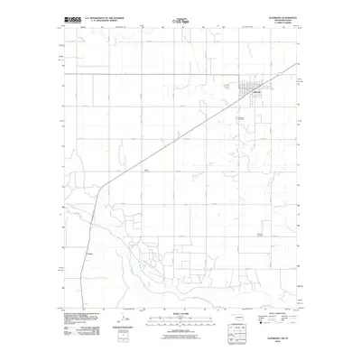
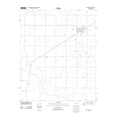
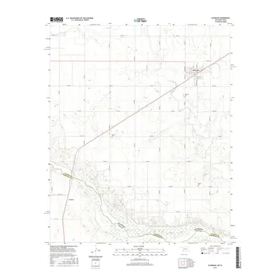
Editions of this 2022 Eldorado Map
This is the sole edition of this map. No revisions or reprints were ever made.
Historical Maps of Eldorado Through Time
6 maps found