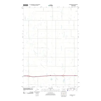
2011 Map of Eldridge NW
USGS Topo · Published 2011About this map
Minneapolis Flats Creek meanders across this rural section of Stutsman County, cutting a diagonal path through a landscape defined by an orderly grid of section-line roads. This survey reveals a sparsely populated agricultural region in central North Dakota where the environment is dominated by scattered prairie potholes and small, seasonal wetlands. The most significant permanent water body is Adkinson Lake, situated in the southern portion of the quadrangle just south of the major east-west corridor of 36th St SE. The map provides a detailed view of the local transportation network, including several north-south routes like 73rd Ave SE, which facilitate the movement of goods and people across this open terrain. This documentation is vital for understanding the modern rural infrastructure and natural drainage patterns of the northern Great Plains.
Find a feature on this map
17 named features on this map. Tap any name to fly to it.
Don’t see what you’re looking for? This feature index may not catch every label — zoom into the map to look around manually.
Map Details
Editions of this 2011 Eldridge NW Map
This is the sole edition of this map. No revisions or reprints were ever made.
Other maps of this area

1896 · Jamestown
USGS Topo · 1:125,000

1900 · Pingree
USGS Topo · 1:125,000

1900 · Pingree
USGS Topo · 1:62,500

1950 · Buchanan
USGS Topo · 1:24,000

1951 · Eldridge SE
USGS Topo · 1:24,000

1951 · Eldridge NW
USGS Topo · 1:24,000

1952 · Buchanan
USGS Topo · 1:24,000

1952 · Eldridge
USGS Topo · 1:24,000

1952 · Pingree SW
USGS Topo · 1:24,000

1952 · Eldridge SW
USGS Topo · 1:24,000