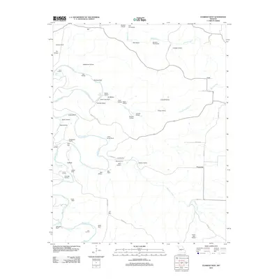
2012 Map of Eldridge West
USGS Topo · Published 2012About this map
Niangua River and its winding tributaries, including Woolsey Creek and Sweet Hollow Creek, define the topography of this Laclede County landscape. Small rural settlements like Ira, Corkery, and Prosperine are dispersed across the terrain, connected by a network of local routes such as Industry Rd and Kettle Rd. The map is particularly valuable for genealogical research, documenting several family-named burial grounds including Turner Cemetery, Guthrie Cemetery, and Keith Cemetery. Distinctive landmarks such as the Laird Post Office and a Landing Strip near Kinfolk Rd provide specific points of historical interest. The naming conventions for the surrounding bluffs and hollows, such as Indian Leap Bluff and Rattlesnake Hollow, reflect a deep-rooted local vernacular tied to the river's physical character.
Find a feature on this map
66 named features on this map. Tap any name to fly to it.
Don’t see what you’re looking for? This feature index may not catch every label — zoom into the map to look around manually.
Map Details
Editions of this 2012 Eldridge West Map
This is the sole edition of this map. No revisions or reprints were ever made.
Other maps of this area

1933 · Stoutland
USGS Topo · 1:62,500

1934 · Macks Creek
USGS Topo · 1:48,000

1938 · Stoutland
USGS Topo · 1:62,500

1939 · Macks Creek
USGS Topo · 1:62,500

1939 · Long Lane
USGS Topo · 1:62,500

1941 · Lebanon
USGS Topo · 1:62,500

1942 · Long Lane
USGS Topo · 1:62,500

1943 · Lebanon
USGS Topo · 1:62,500

1954 · Springfield
USGS Topo · 1:250,000

1958 · Springfield
USGS Topo · 1:250,000