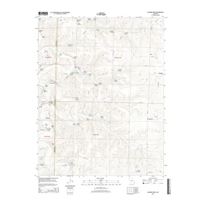
2015 Map of Eldridge West
USGS Topo · Published 2015About this map
The Niangua River carves a deep, winding path through the borderlands of Laclede and Dallas counties, defining a landscape of prominent bluffs and numerous hollows. This 2015 study shows the rural character of the region, where settlements like Ira, Prosperine, and Corkery are connected by a network of local roads such as Corkery Rd and Kinfolk Rd. The terrain is marked by dozens of named topographic features including Indian Grave Point, Guthrie Bluff, and Indian Leap Bluff, which reflect the local history and folklore of these Ozark foothills.
Find a feature on this map
90 named features on this map. Tap any name to fly to it.
Don’t see what you’re looking for? This feature index may not catch every label — zoom into the map to look around manually.
Map Details
Editions of this 2015 Eldridge West Map
This is the sole edition of this map. No revisions or reprints were ever made.
Other maps of this area
1933 · Stoutland
USGS Topo · 1:62,500
1934 · Macks Creek
USGS Topo · 1:48,000
1938 · Stoutland
USGS Topo · 1:62,500
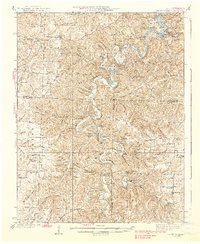
1939 · Macks Creek
USGS Topo · 1:62,500
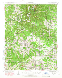
1939 · Long Lane
USGS Topo · 1:62,500
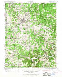
1941 · Lebanon
USGS Topo · 1:62,500
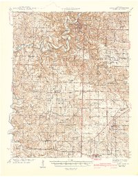
1942 · Long Lane
USGS Topo · 1:62,500
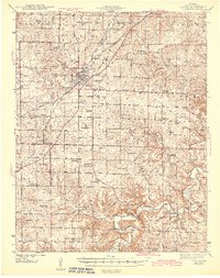
1943 · Lebanon
USGS Topo · 1:62,500
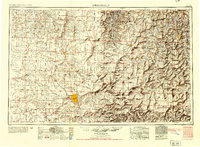
1954 · Springfield
USGS Topo · 1:250,000
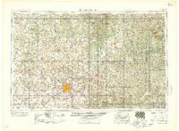
1958 · Springfield
USGS Topo · 1:250,000