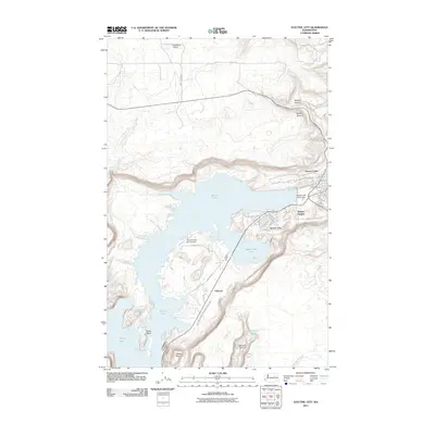
2011 Map of Electric City
USGS Topo · Published 2011About this map
Electric City sits at the heart of this 2011 survey, centered on the dramatic landscape of the Grand Coulee. The topography is dominated by the massive reservoir of Banks Lake, held by the Banks Lake North Dam. The map details the residential clusters of Delano Heights and the smaller settlement of Osborne, connected by a network of local routes like Spokane Way and Electric Blvd.
Find a feature on this map
36 named features on this map. Tap any name to fly to it.
Don’t see what you’re looking for? This feature index may not catch every label — zoom into the map to look around manually.
Map Details
Editions of this 2011 Electric City Map
This is the sole edition of this map. No revisions or reprints were ever made.
Other maps of this area

1948 · Grand Coulee Dam
USGS Topo · 1:62,500

1950 · Grand Coulee Dam
USGS Topo · 1:62,500

1950 · Nespelem
USGS Topo · 1:62,500

1950 · Alameda Flat
USGS Topo · 1:62,500

1952 · Alameda Flat
USGS Topo · 1:62,500

1953 · Ritzville
USGS Topo · 1:250,000

1954 · Okanogan
USGS Topo · 1:250,000

1958 · Okanogan
USGS Topo · 1:250,000

1959 · Ritzville
USGS Topo · 1:250,000

1965 · Ritzville
USGS Topo · 1:250,000