
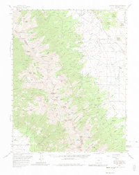
1959 Map of Electric Peak
USGS Topo · Published 1961About this map
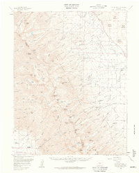
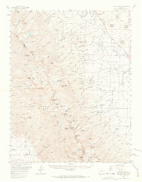
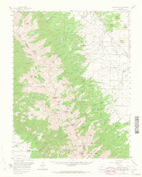
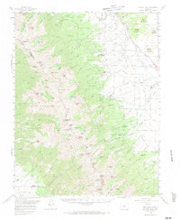
The Sangre de Cristo Mountains dominate this 1959 survey, marking the high-altitude divide between Saguache and Custer counties. This landscape is defined by the sharp contrast between the jagged peaks of Electric Peak and Spread Eagle Peak and the ranching settlements of Prairie Valley to the east. The map records several early 20th-century family landmarks, including the King Homestead and Hutchinson Homestead, reflecting the area's transition from frontier settlement to established ranching communities like San Isabel Ranch.
Find a feature on this map
108 named features on this map. Tap any name to fly to it.
Don’t see what you’re looking for? This feature index may not catch every label — zoom into the map to look around manually.
Map Details
Editions of this 1959 Electric Peak Map
6 editions found
Other maps of this area

1889 · Canon City
USGS Topo · 1:125,000

1889 · Huerfano Park
USGS Topo · 1:125,000

1892 · Huerfano Park
USGS Topo · 1:125,000

1892 · Canon City
USGS Topo · 1:125,000

1950 · Valley View Hot Springs
USGS Topo · 1:24,000

1954 · Trinidad
USGS Topo · 1:250,000

1954 · Pueblo
USGS Topo · 1:250,000

1955 · Westcliffe
USGS Topo · 1:24,000

1955 · Trinidad
USGS Topo · 1:250,000

1957 · Pueblo
USGS Topo · 1:250,000