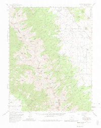
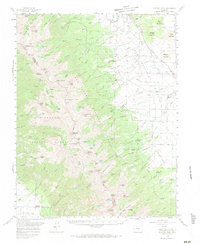
1959 Map of Electric Peak
USGS Topo · Published 1980About this map
The high peaks of the Sangre De Cristo Range define this 1959 landscape, where steep ridgelines separate the high mountain lakes of the Rio Grande National Forest from the broad Wet Mountain Valley. Economic activity is recorded through high-altitude mineral extraction at the Cloverdale Mine and Rito Alto Mine, while the valley floor shows a transition toward recreation and ranching. Genealogists and local historians can locate early settlement footprints at the Hutchinson Homestead and King Homestead, alongside established operations like the San Isabel Ranch. An Old Railroad Grade skirts the southern edge of the survey, tracing the path of former narrow-gauge tracks that once served this mining and timber country. The map also captures mid-century leisure sites, including the Alvarado Picnic Grounds and North Crestone Campground tucked against the wilderness boundary.
Find a feature on this map
112 named features on this map. Tap any name to fly to it.
Don’t see what you’re looking for? This feature index may not catch every label — zoom into the map to look around manually.
Map Details
Editions of this 1959 Electric Peak Map
6 editions found

Other maps of this area

1889 · Canon City
USGS Topo · 1:125,000

1889 · Huerfano Park
USGS Topo · 1:125,000

1892 · Huerfano Park
USGS Topo · 1:125,000

1892 · Canon City
USGS Topo · 1:125,000

1950 · Valley View Hot Springs
USGS Topo · 1:24,000

1954 · Trinidad
USGS Topo · 1:250,000

1954 · Pueblo
USGS Topo · 1:250,000

1955 · Westcliffe
USGS Topo · 1:24,000

1955 · Trinidad
USGS Topo · 1:250,000

1957 · Pueblo
USGS Topo · 1:250,000