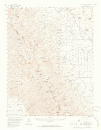
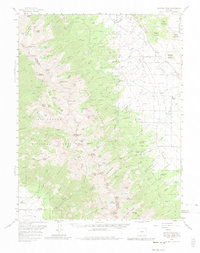
1959 Map of Electric Peak
USGS Topo · Published 1965About this map
San Isabel National Forest and Rio Grande National Forest meet at the crest of the Sangre de Cristo Range, creating a divide between Custer and Saguache counties. The landscape is dominated by high-altitude peaks like Electric Peak and Spread Eagle Peak, where drainage systems like Swift Creek and Cotton Creek flow from alpine lakes toward the valley floors. In the lower elevations, the transition from timberline to grazing land is evident through the presence of the Hutchinson Homestead and King Homestead, representing the area's agricultural foundations.
Find a feature on this map
131 named features on this map. Tap any name to fly to it.
Don’t see what you’re looking for? This feature index may not catch every label — zoom into the map to look around manually.
Map Details
Editions of this 1959 Electric Peak Map
6 editions found

Other maps of this area

1889 · Canon City
USGS Topo · 1:125,000

1889 · Huerfano Park
USGS Topo · 1:125,000

1892 · Huerfano Park
USGS Topo · 1:125,000

1892 · Canon City
USGS Topo · 1:125,000

1950 · Valley View Hot Springs
USGS Topo · 1:24,000

1954 · Trinidad
USGS Topo · 1:250,000

1954 · Pueblo
USGS Topo · 1:250,000

1955 · Westcliffe
USGS Topo · 1:24,000

1955 · Trinidad
USGS Topo · 1:250,000

1957 · Pueblo
USGS Topo · 1:250,000