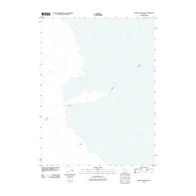
2010 Map of Elephant Knoll SE
USGS Topo · Published 2010About this map
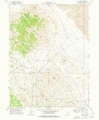
Garrison Monster rises as a prominent landmark in this desert expanse of Tooele County, defining the local topography. The drainage patterns of the Great Basin are clearly visible through the seasonal watercourses of Deep Creek and Tank Wash, which cut across the arid landscape. Published by the U.S. Geological Survey, this 2010 edition utilizes imagery from the National Agriculture Imagery Program to detail the sparse network of 4WD and local roads that navigate the basin floor. The map reflects a landscape shaped by intermittent hydrology, where named washes provide the primary navigational markers across the open terrain.
Find a feature on this map
3 named features on this map. Tap any name to fly to it.
Don’t see what you’re looking for? This feature index may not catch every label — zoom into the map to look around manually.
Map Details
Editions of this 2010 Elephant Knoll SE Map
This is the sole edition of this map. No revisions or reprints were ever made.
Other maps of this area

1925 · Gold Hill
USGS Topo · 1:62,500

1928 · Gold Hill
USGS Topo · 1:62,500

1953 · Tooele
USGS Topo · 1:250,000

1955 · Tooele
USGS Topo · 1:250,000

1972 · Elephant Knoll
USGS Topo · 1:24,000
1972 · Elephant Knoll NW
USGS Topo · 1:24,000
1972 · Elephant Knoll NE
USGS Topo · 1:24,000

1972 · Elephant Knoll SE
USGS Topo · 1:24,000
1973 · Ochre Mountain
USGS Topo · 1:24,000
1973 · Gold Hill
USGS Topo · 1:24,000