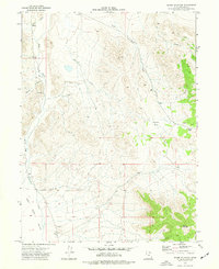
1973 Map of Ochre Mountain
USGS Topo · Published 1977About this map
Ochre Mountain dominates the southeastern corner of this 1970s survey, overlooking a landscape defined by Great Basin drainage patterns and intermittent desert washes. The terrain transitions from the high elevations of Twin Peaks down through alluvial fans to Deep Creek Valley and the expansive White Sage Flat in the west. This period of mapping shows a region primarily utilized for resource extraction and transit, evidenced by various Prospect sites and Gravel Pits scattered near the foothills.
Find a feature on this map
16 named features on this map. Tap any name to fly to it.
Don’t see what you’re looking for? This feature index may not catch every label — zoom into the map to look around manually.
Map Details
Editions of this 1973 Ochre Mountain Map
2 editions found
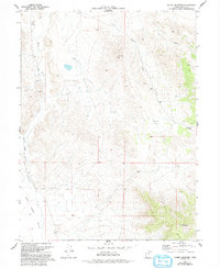
Other maps of this area

1925 · Gold Hill
USGS Topo · 1:62,500

1928 · Gold Hill
USGS Topo · 1:62,500

1953 · Tooele
USGS Topo · 1:250,000

1955 · Tooele
USGS Topo · 1:250,000

1955 · Elko
USGS Topo · 1:250,000

1958 · Elko
USGS Topo · 1:250,000

1962 · Elko
USGS Topo · 1:250,000

1965 · Elko
USGS Topo · 1:250,000

1972 · Utah Peak
USGS Topo · 1:24,000

1972 · Elephant Knoll
USGS Topo · 1:24,000