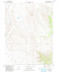
1973 Map of Ochre Mountain
USGS Topo · Published 1993About this map
Ochre Mountain dominates the southeastern corner of this Tooele County landscape, a region defined by high desert terrain and seasonal drainage patterns. Throughout the Deep Creek Valley, the map reveals a network of intermittent watercourses like Deep Creek, Bar Creek, and Ferber Wash that have carved significant features such as Gerster Gulch and Trail Gulch into the surrounding peaks. This 1973 survey shows a land shaped by both natural erosion and human extraction, evidenced by several Gravel Pits and a Prospect located near Gold Hill Pass. Movement through the area is primarily facilitated by rugged 4wd routes that connect high-elevation basins like Pinyon Flat and White Sage Flat. The presence of these named flats and washes suggests a landscape where water and topography dictated the paths of early travel and exploration.
Find a feature on this map
16 named features on this map. Tap any name to fly to it.
Don’t see what you’re looking for? This feature index may not catch every label — zoom into the map to look around manually.
Map Details
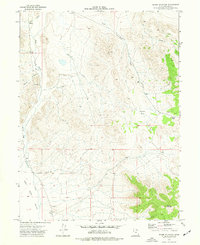
Editions of this 1973 Ochre Mountain Map
2 editions found
Other maps of this area

1925 · Gold Hill
USGS Topo · 1:62,500

1928 · Gold Hill
USGS Topo · 1:62,500

1953 · Tooele
USGS Topo · 1:250,000

1955 · Tooele
USGS Topo · 1:250,000

1955 · Elko
USGS Topo · 1:250,000

1958 · Elko
USGS Topo · 1:250,000

1962 · Elko
USGS Topo · 1:250,000

1965 · Elko
USGS Topo · 1:250,000

1972 · Utah Peak
USGS Topo · 1:24,000

1972 · Elephant Knoll
USGS Topo · 1:24,000