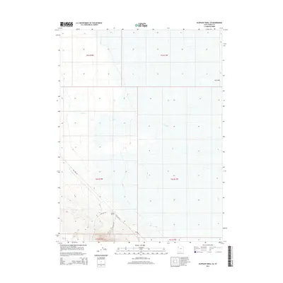
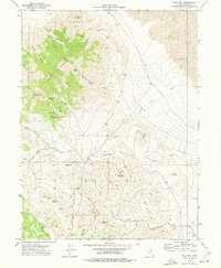
2014 Map of Elephant Knoll SE
USGS Topo · Published 2014About this map
Garrison Monster rises as a prominent landmark in this desert region of western Tooele County. The landscape is defined by the intermittent drainage of Tank Wash and the winding course of Deep Creek, which cuts through the northern sections of the map. This 2014 survey documents the sparse network of remote desert tracks and corridors that traverse the basin, including Blue Lakes Rd and Wilson Hill Rd. The map illustrates the classic Basin and Range topography, where low-lying washes and flats transition into the elevated terrain of the Garrison Monster foothills. Smaller routes like Tank Wash Rd and Wilsons Way indicate the limited but present human imprint on this remote stretch of the Utah desert, primarily serving ranching or land management interests.
Find a feature on this map
13 named features on this map. Tap any name to fly to it.
Don’t see what you’re looking for? This feature index may not catch every label — zoom into the map to look around manually.
Map Details
Editions of this 2014 Elephant Knoll SE Map
This is the sole edition of this map. No revisions or reprints were ever made.
Other maps of this area

1925 · Gold Hill
USGS Topo · 1:62,500

1928 · Gold Hill
USGS Topo · 1:62,500

1953 · Tooele
USGS Topo · 1:250,000

1955 · Tooele
USGS Topo · 1:250,000

1972 · Elephant Knoll
USGS Topo · 1:24,000
1972 · Elephant Knoll NW
USGS Topo · 1:24,000
1972 · Elephant Knoll NE
USGS Topo · 1:24,000

1972 · Elephant Knoll SE
USGS Topo · 1:24,000
1973 · Ochre Mountain
USGS Topo · 1:24,000
1973 · Gold Hill
USGS Topo · 1:24,000